Seaport · Australia
NewcastleAUNTL
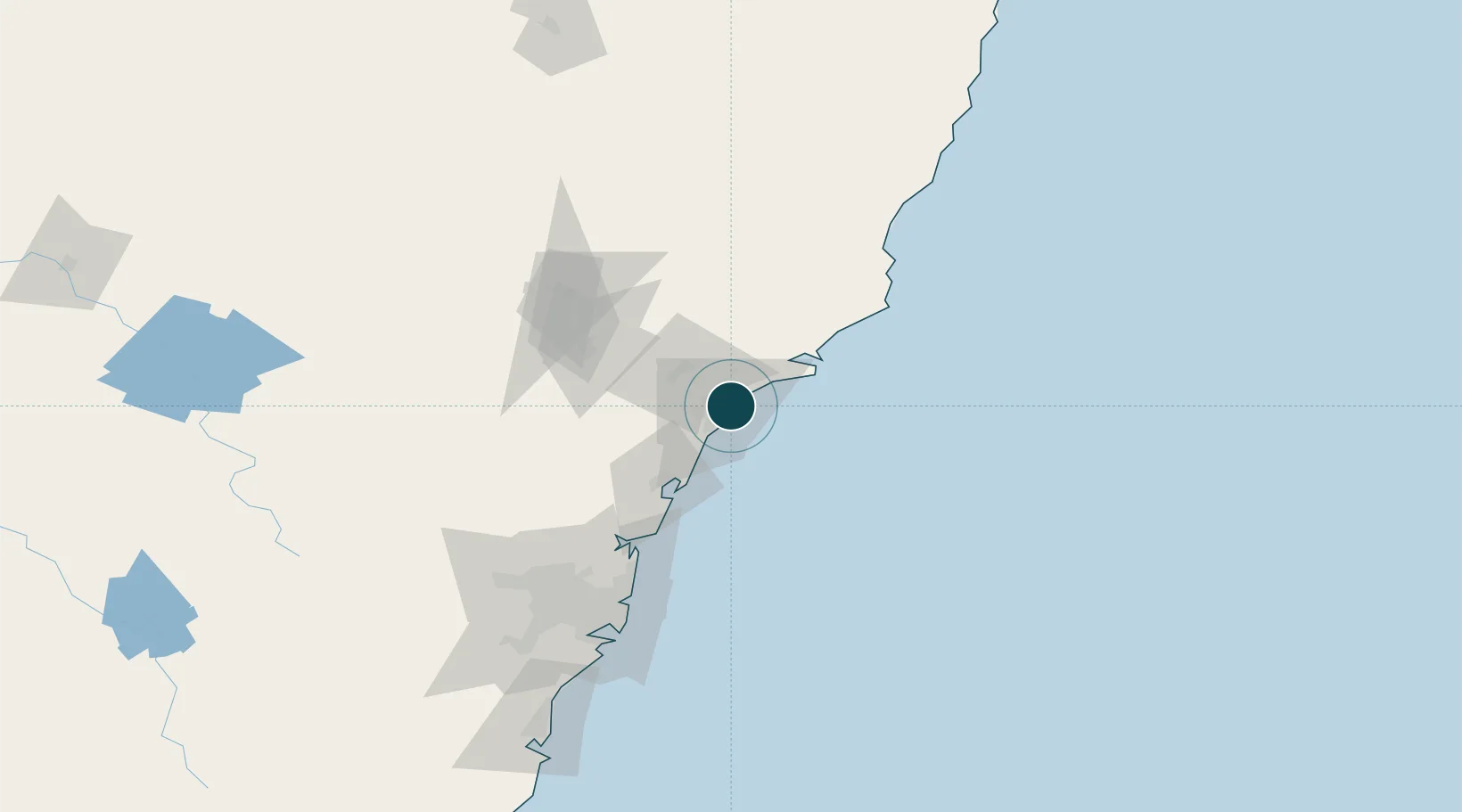
-32.9167°, 151.7833°
17.7 m
Channel depth
21.8
Port liner connectivity
Channel & Berth Profile
Pilotage, Tugs & Services
Pilotage compulsoryYES
Pilotage availableYES
Pilotage advisableYES
Tug assistanceYES
Salvage tugsNO
Shore powerYES
Potable waterYES
Diesel bunkersYES
MedicalYES
Garbage disposalYES
Facilities & Capabilities
ContainerYES
Ro-RoYES
Liquid bulkYES
Dry bulkYES
Oil terminal—
Break bulkYES
Dry dockNO
RepairsNO
BunkeringYES
Rail linkYES
Dangerous cargo—
ISPS security—
Harbour Specifications
Harbour size
Large
Harbour type
Coastal (Breakwater)
Shelter
Excellent
Water body
Tasman Sea; South Pacific Ocean
Tidal range
2.1 m
Overhead limit
Yes
Pilotage
Yes
Liner Connectivity
21.8
PLSCI
Port Liner Shipping Connectivity Index for Newcastle, as published by UNCTAD for the latest available quarter. Higher values indicate stronger scheduled liner-shipping integration.
Shown relative to the highest per-port PLSCI in the dataset (1,657.9).
Location
Nearby Logistics Neighbours
Ports
- 1Sydney119 km
- 2Botany Bay131 km
- 3Port Kembla192 km
- 4Jervis Bay261 km
- 5Batemans Bay343 km
Cities
- 1Hamilton5 km
- 2New Lambton8 km
- 3Warabrook9 km
- 4Sandgate10 km
- 5Kotara10 km
Airports
- 1Newcastle Airport14 km
- 2Palm Beach Seaplane Base86 km
- 3RAAF Base Richmond120 km
- 4Sydney Kingsford Smith International Airport128 km
- 5Taree Airport133 km
Trade Zones
DatabookThe Record of Consolidated Knowledge
Australia beyond logistics?