Channel & Berth Profile
Pilotage, Tugs & Services
Pilotage compulsoryYES
Pilotage availableYES
Tug assistanceYES
Salvage tugsNO
Shore powerNO
Potable waterYES
Diesel bunkersYES
MedicalYES
Facilities & Capabilities
ContainerYES
Ro-RoYES
Liquid bulkYES
Dry bulk—
Oil terminal—
Break bulk—
Dry dock—
RepairsNO
BunkeringYES
Rail linkYES
Dangerous cargo—
ISPS security—
Harbour Specifications
Harbour size
Small
Harbour type
Coastal (Natural)
Shelter
Good
Water body
Tasman Sea; South Pacific Ocean
Tidal range
4 m
Pilotage
Yes
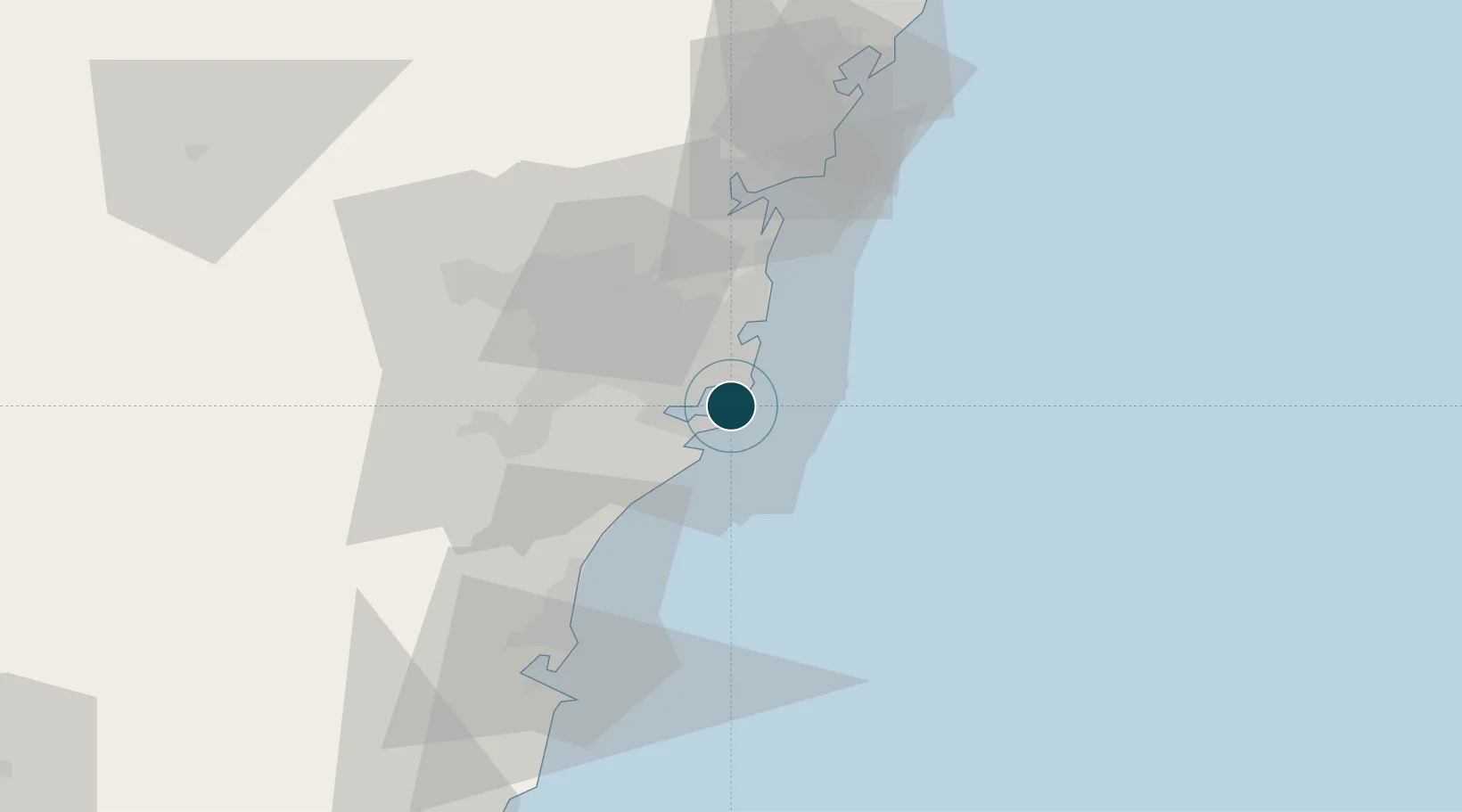
Location
Nearby Logistics Neighbours
Ports
- 1Sydney15 km
- 2Port Kembla61 km
- 3Jervis Bay130 km
- 4Newcastle131 km
- 5Batemans Bay213 km
Cities
- 1Chifley4 km
- 2Matraville6 km
- 3Daceyville9 km
- 4Cronulla10 km
- 5Brighton-Le-Sands10 km
Airports
Trade Zones
DatabookThe Record of Consolidated Knowledge
Australia beyond logistics?