UN/LOCODE hub · Australia
AUMSP
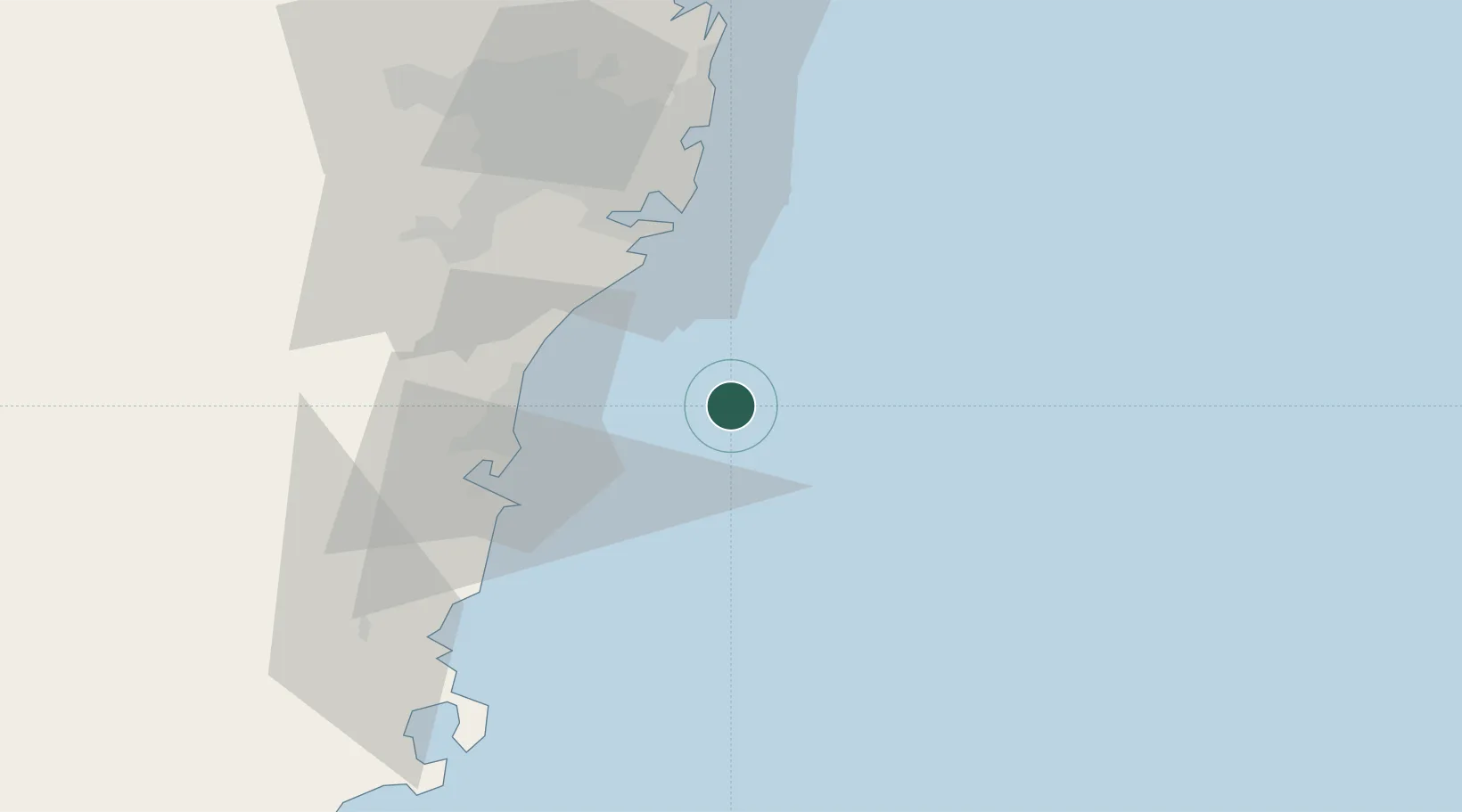
Milsons Point
-34.4000°, 151.3500°
2,170
Population
1
Transport functions
Transport Functions
Multimodal
Hub Profile
Place type
Urban district
Region
New South Wales
Population
2,170
Time zone
Australia/Sydney
Elevation
49 m
Location
Nearby Logistics Neighbours
Cities
- 1Bulli41 km
- 2Port Hacking42 km
- 3Port Kembla43 km
- 4Cronulla43 km
- 5Caringbah44 km
Ports
- 1Port Kembla41 km
- 2Botany Bay46 km
- 3Sydney61 km
- 4Jervis Bay94 km
- 5Newcastle170 km
Airports
Trade Zones
DatabookThe Record of Consolidated Knowledge
Australia beyond logistics?