Medium airport · Australia

Naval Air Station Nowra - HMAS AlbatrossYSNW
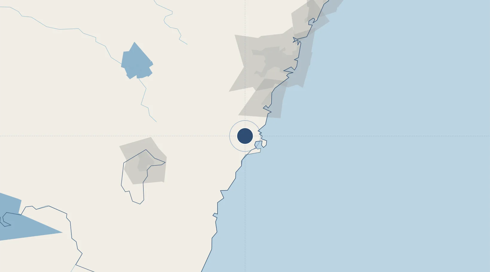
-34.9466°, 150.5425°
6,870 ft
Longest runway
2
Runways
400 ft
Elevation

Runway & Layout

Naval Air Station Nowra - HMAS Albatross runway & taxiway layout
Runway & taxiway layout — OpenStreetMap (ODbL) / OurAirports

Radio Frequencies

ATIS
28.04 MHz
TWR
118.85 MHz
GND
135.85 MHz
CLD
128.35 MHz
CLNC DEL
APP
123.5 MHz
CTAF
118.85 MHz
FSS
121.2 MHz
MELBOURNE CNTR
OurAirports

Navaids

NWA TACAN Nowra 116.40 MHz
NWA NDB Nowra 359 kHz
OurAirports

Runways · 2

RunwayDimensions SurfaceTrue headingLit
08/26 6,870 × 148ft Asphalt 095°
03/21 6,713 × 148ft Asphalt 045°
OurAirports

Airport Specifications

IATA code
NOA
OurAirports
ICAO code
YSNW
OurAirports
Airport class
Medium airport
OurAirports
Scheduled service
No
OurAirports
Runway surface
Asphalt
OurAirports
Served city
Nowra Hill
OurAirports

Location

Location of YSNW
Natural Earth 10m (public domain) · New South Wales · YSNW · -34.95, 150.54GoogleOSMYandex

Nearby Logistics Neighbours

Airports
  1. 1Shellharbour Airport48 km
  2. 2Goulburn Airport76 km
  3. 3Camden Airport102 km
  4. 4Moruya Airport112 km
  5. 5Gundaroo Airport118 km
Nearest neighbours — logibook spatial index (haversine) over the source coordinates
Cities
  1. 1Bomaderry13 km
  2. 2Ulladulla46 km
  3. 3Moss Vale47 km
  4. 4Oak Flats51 km
  5. 5Dapto54 km
Nearest neighbours — logibook spatial index (haversine) over the source coordinates
Ports
  1. 1Jervis Bay30 km
  2. 2Port Kembla62 km
  3. 3Batemans Bay90 km
  4. 4Botany Bay123 km
  5. 5Sydney134 km
Nearest neighbours — logibook spatial index (haversine) over the source coordinates
Trade Zones
  1. 1Latrobe Valley Economic Growth Zone521 km
  2. 2Hicks Bay Area Special Economic Zone2482 km
  3. 3Vanuatu Economic Development Zone2724 km
  4. 4Paga Hill Estate Special Economic Zone2852 km
  5. 5Tulagi Island Special Economic Zone3035 km
Nearest neighbours — logibook spatial index (haversine) over the source coordinates
DatabookThe Record of Consolidated Knowledge
Australia beyond logistics?
Browse databook

All Sources

AirportsOurAirports
Public domain
Portsthe NGA World Port Index
Public domain (US gov)
LocationsUN/LOCODE
UN/LOCODE — free
Trade Zonesthe World Bank SEZ database
CC BY 4.0
Trade ZonesOpen Zone Map
CC BY
InfrastructureOpenStreetMap
ODbL 1.0
← Australia airports