Medium airport · Australia
Sydney Bankstown AirportYSBK
-33.9236°, 150.9908°
4,644 ft
Longest runway
3
Runways
29 ft
Elevation
Runway & Layout

Radio Frequencies
ATIS
120.9 MHz
TWR
132.8 MHz
GND
119.9 MHz
CTAF
132.8 MHz
FSS
124.55 MHz
SYDNEY CENTRE
Navaids
BK NDB Bankstown 416 kHz
Runways · 3
| Runway | Dimensions | Surface | True heading | Lit |
|---|---|---|---|---|
| 11C/29C | 4,644 × 98ft | Asphalt | 124° | ✓ |
| 11L/29R | 3,609 × 98ft | Asphalt | 124° | ✓ |
| 11R/29L | 3,419 × 75ft | Asphalt | 124° | ✓ |
Airport Specifications
IATA code
BWU
ICAO code
YSBK
Airport class
Medium airport
Scheduled service
No
Runway surface
Asphalt
Served city
Sydney
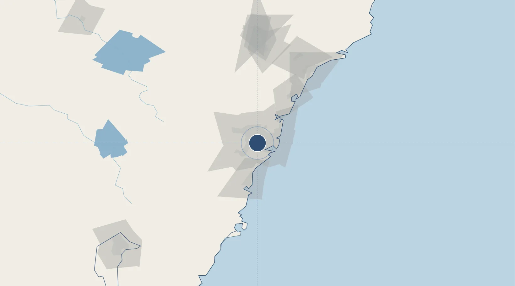
Location
Nearby Logistics Neighbours
Airports
- 1Sydney Kingsford Smith International Airport17 km
- 2Camden Airport31 km
- 3RAAF Base Richmond40 km
- 4Palm Beach Seaplane Base48 km
- 5Shellharbour Airport73 km
Ports
- 1Sydney20 km
- 2Botany Bay24 km
- 3Port Kembla63 km
- 4Jervis Bay134 km
- 5Newcastle134 km
Trade Zones
DatabookThe Record of Consolidated Knowledge
Australia beyond logistics?