UN/LOCODE hub · Australia
AUKGA

Kembla

-34.4333°, 150.8167°
3
Transport functions

Transport Functions

Rail
Road
Multimodal
UN/LOCODE

Hub Profile

Place type
Urban district
GeoNames
Region
New South Wales
GeoNames
Time zone
Australia/Sydney
GeoNames
Elevation
138 m
GeoNames

Location

Location of AUKGA
Natural Earth 10m (public domain) · New South Wales · AUKGA · -34.43, 150.82GoogleOSMYandex

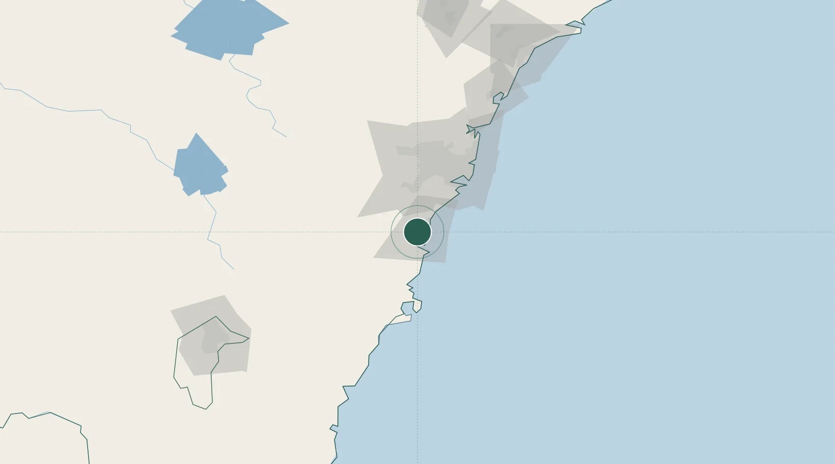
Nearby Logistics Neighbours

Cities
  1. 1Port Kembla7 km
  2. 2Dapto8 km
  3. 3Oak Flats13 km
  4. 4Bulli17 km
  5. 5Picton34 km
Nearest neighbours — logibook spatial index (haversine) over the source coordinates
Ports
  1. 1Port Kembla11 km
  2. 2Botany Bay62 km
  3. 3Sydney72 km
  4. 4Jervis Bay76 km
  5. 5Batemans Bay153 km
Nearest neighbours — logibook spatial index (haversine) over the source coordinates
Airports
  1. 1Shellharbour Airport14 km
  2. 2Camden Airport46 km
  3. 3Sydney Bankstown Airport59 km
  4. 4Naval Air Station Nowra - HMAS Albatross62 km
  5. 5Sydney Kingsford Smith International Airport64 km
Nearest neighbours — logibook spatial index (haversine) over the source coordinates
Trade Zones
  1. 1Latrobe Valley Economic Growth Zone579 km
  2. 2Hicks Bay Area Special Economic Zone2473 km
  3. 3Vanuatu Economic Development Zone2665 km
  4. 4Paga Hill Estate Special Economic Zone2800 km
  5. 5Tulagi Island Special Economic Zone2973 km
Nearest neighbours — logibook spatial index (haversine) over the source coordinates
DatabookThe Record of Consolidated Knowledge
Australia beyond logistics?
Browse databook

All Sources

LocationsUN/LOCODE
UN/LOCODE — free
Portsthe NGA World Port Index
Public domain (US gov)
AirportsOurAirports
Public domain
Trade Zonesthe World Bank SEZ database
CC BY 4.0
Trade ZonesOpen Zone Map
CC BY
← Australia locations