Large airport · Australia
Sydney Kingsford Smith International AirportYSSY
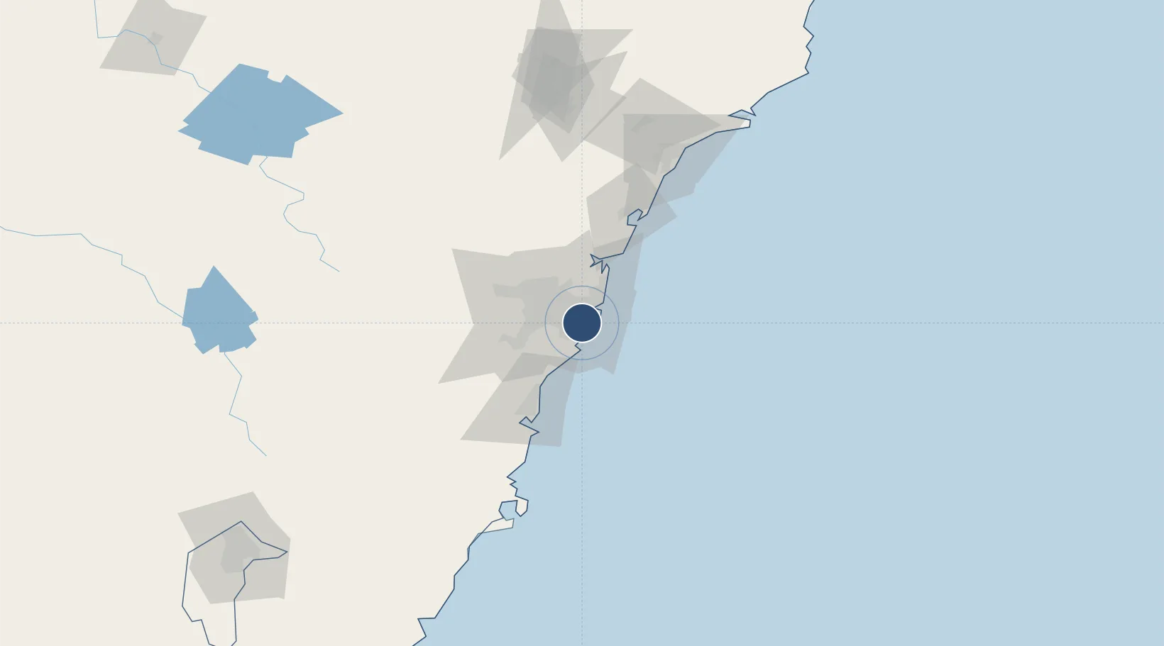
-33.9461°, 151.1770°
12,999 ft
Longest runway
3
Runways
21 ft
Elevation
Runway & Layout

Radio Frequencies
ATIS
115.55 MHz
TWR
120.5 MHz
GND
121.7 MHz
CLD
133.8 MHz
CLNC DEL
APP
135.1 MHz
DEP
123 MHz
OPS
1123.5 MHz
RAAF AIR OPS
Navaids
GLF NDB Glenfield 428 kHz
SY DME Sydney 112.10 MHz
Runways · 3
| Runway | Dimensions | Surface | True heading | Lit |
|---|---|---|---|---|
| 16R/34L | 12,999 × 148ft | Asphalt | 168° | ✓ |
| 07/25 | 8,300 × 148ft | Asphalt | 074° | ✓ |
| 16L/34R | 7,999 × 148ft | Asphalt | 168° | ✓ |
Airport Specifications
IATA code
SYD
ICAO code
YSSY
Airport class
Large airport
Scheduled service
Yes
Runway surface
Asphalt
Served city
Sydney (Mascot)
Location
Nearby Logistics Neighbours
Airports
- 1Sydney Bankstown Airport17 km
- 2Palm Beach Seaplane Base42 km
- 3Camden Airport46 km
- 4RAAF Base Richmond53 km
- 5Shellharbour Airport77 km
Cities
- 1Brighton-Le-Sands3 km
- 2Tempe3 km
- 3Marrickville3 km
- 4Rockdale4 km
- 5Daceyville5 km
Ports
- 1Botany Bay8 km
- 2Sydney9 km
- 3Port Kembla64 km
- 4Newcastle128 km
- 5Jervis Bay135 km
Trade Zones
DatabookThe Record of Consolidated Knowledge
Australia beyond logistics?