Seaport · Australia
SydneyAUSYD
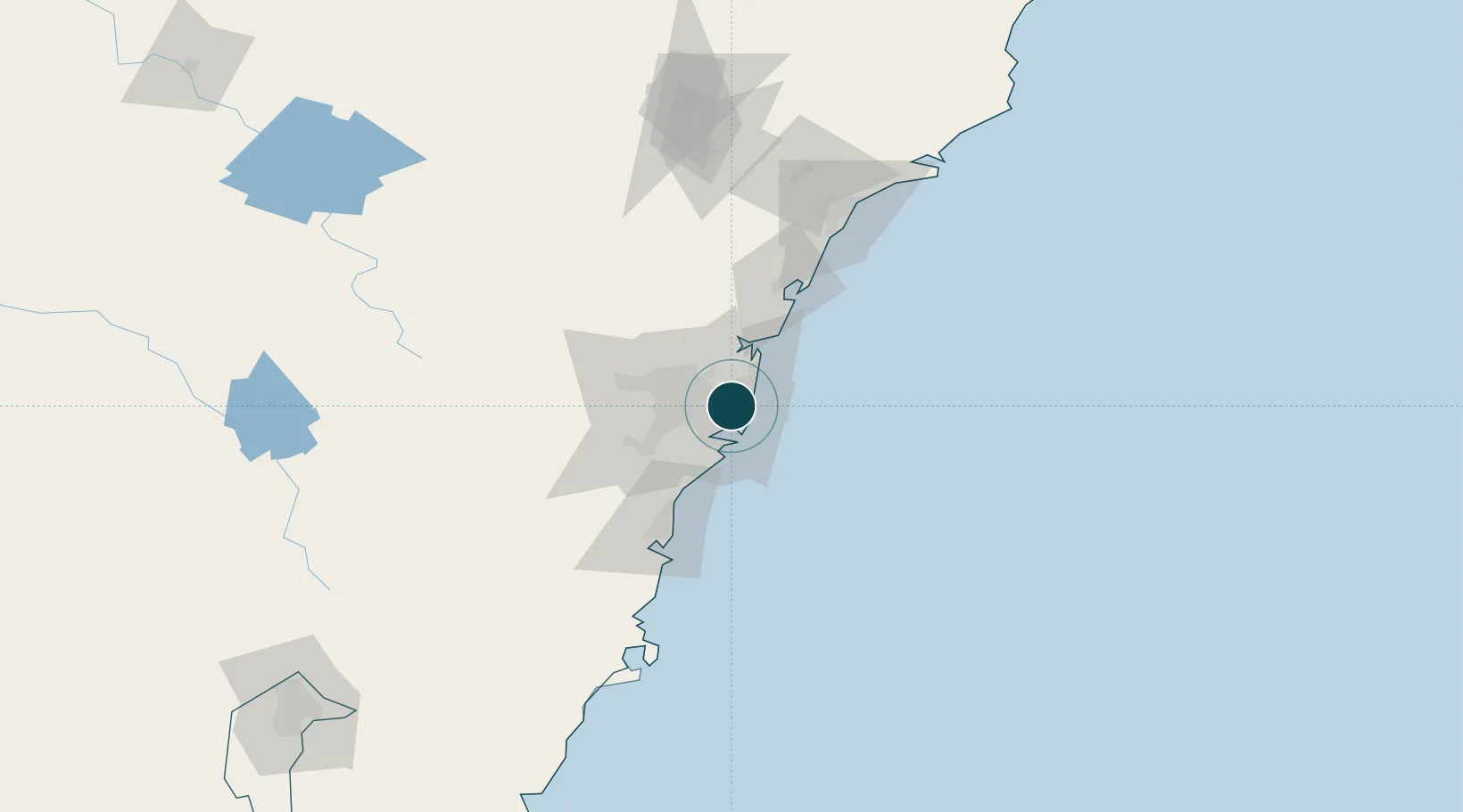
-33.8667°, 151.2000°
10.5 m
Channel depth
3
Container terminals
259.8
Port liner connectivity
Channel & Berth Profile
Pilotage, Tugs & Services
Pilotage compulsoryYES
Pilotage availableYES
Pilotage advisableYES
Local assistanceYES
Tug assistanceYES
Salvage tugsYES
Shore powerYES
Potable waterYES
Diesel bunkersYES
MedicalYES
Garbage disposalYES
Facilities & Capabilities
ContainerYES
Ro-RoYES
Liquid bulkYES
Dry bulkYES
Oil terminal—
Break bulkYES
Dry dockNO
RepairsNO
BunkeringYES
Rail linkYES
Dangerous cargo—
ISPS security—
Harbour Specifications
Harbour size
Large
Harbour type
Coastal (Natural)
Shelter
Excellent
Water body
Tasman Sea; South Pacific Ocean
Tidal range
1 m
Overhead limit
Yes
Pilotage
Yes
Liner Connectivity
259.8
PLSCI
Port Liner Shipping Connectivity Index for Sydney, as published by UNCTAD for the latest available quarter. Higher values indicate stronger scheduled liner-shipping integration.
Shown relative to the highest per-port PLSCI in the dataset (1,657.9).
Location
Container Terminals · 3
PATRICK SYDNEY AUTOSTRAD TERMINAL
ASLPB PATRICK
DP WORLD SYDNEY
CTLPB DP WORLD (AUSTRALIA)
HUTCHISON SYDNEY INTERNATIONAL CONTAINER TERMINAL (SICTL)
HPAPB SYDNEY INTERNATIONAL CONTAINER TERMINALS PTY LTD (SICTL) / HUTCHISON PORTS SYDNEY
Nearby Logistics Neighbours
Ports
- 1Botany Bay15 km
- 2Port Kembla73 km
- 3Newcastle119 km
- 4Jervis Bay144 km
- 5Batemans Bay225 km
Cities
- 1Pyrmont2 km
- 2Woolloomooloo2 km
- 3Chippendale2 km
- 4Darlinghurst2 km
- 5Paddington2 km
Airports
Trade Zones
DatabookThe Record of Consolidated Knowledge
Australia beyond logistics?