UN/LOCODE hub · Australia
AUPKL
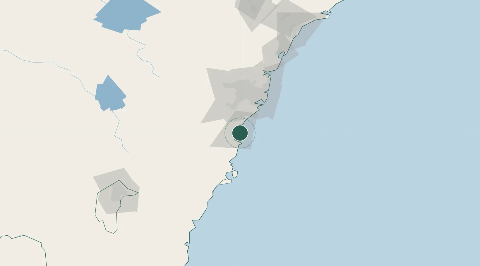
Port Kembla
-34.4516°, 150.8882°
5,012
Population
2
Transport functions
1
Container terminals
Transport Functions
Port
Airport
Hub Profile
Place type
Urban district
Region
New South Wales
Population
5,012
Time zone
Australia/Sydney
Elevation
15 m
Logistics facilities
3
Container terminals
1
Location
Nearby Logistics Neighbours
Ports
- 1Botany Bay59 km
- 2Sydney71 km
- 3Jervis Bay74 km
- 4Batemans Bay154 km
- 5Newcastle190 km
Airports
Trade Zones
DatabookThe Record of Consolidated Knowledge
Australia beyond logistics?