UN/LOCODE hub · Australia
AUDTO

Dapto

-34.5000°, 150.7833°
10,568
Population
2
Transport functions

Transport Functions

Rail
Road
UN/LOCODE

Hub Profile

Place type
Urban district
GeoNames
Region
New South Wales
GeoNames
Population
10,568
GeoNames
Time zone
Australia/Sydney
GeoNames
Elevation
28 m
GeoNames

Location

Location of AUDTO
Natural Earth 10m (public domain) · New South Wales · AUDTO · -34.50, 150.78GoogleOSMYandex

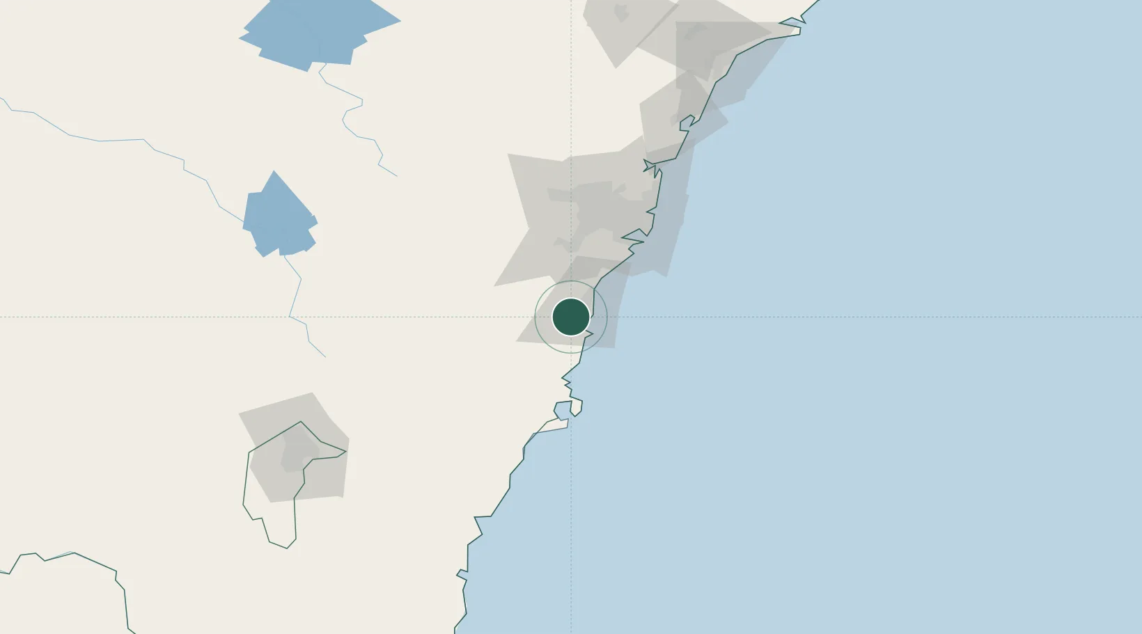
Nearby Logistics Neighbours

Cities
  1. 1Oak Flats6 km
  2. 2Kembla8 km
  3. 3Port Kembla11 km
  4. 4Bulli25 km
  5. 5Mittagong33 km
Nearest neighbours — logibook spatial index (haversine) over the source coordinates
Ports
  1. 1Port Kembla12 km
  2. 2Jervis Bay69 km
  3. 3Botany Bay69 km
  4. 4Sydney80 km
  5. 5Batemans Bay145 km
Nearest neighbours — logibook spatial index (haversine) over the source coordinates
Airports
  1. 1Shellharbour Airport7 km
  2. 2Camden Airport52 km
  3. 3Naval Air Station Nowra - HMAS Albatross54 km
  4. 4Sydney Bankstown Airport67 km
  5. 5Sydney Kingsford Smith International Airport71 km
Nearest neighbours — logibook spatial index (haversine) over the source coordinates
Trade Zones
  1. 1Latrobe Valley Economic Growth Zone572 km
  2. 2Hicks Bay Area Special Economic Zone2474 km
  3. 3Vanuatu Economic Development Zone2672 km
  4. 4Paga Hill Estate Special Economic Zone2806 km
  5. 5Tulagi Island Special Economic Zone2981 km
Nearest neighbours — logibook spatial index (haversine) over the source coordinates
DatabookThe Record of Consolidated Knowledge
Australia beyond logistics?
Browse databook

All Sources

LocationsUN/LOCODE
UN/LOCODE — free
LocationsGeoNames
CC BY 4.0
Portsthe NGA World Port Index
Public domain (US gov)
AirportsOurAirports
Public domain
Trade Zonesthe World Bank SEZ database
CC BY 4.0
Trade ZonesOpen Zone Map
CC BY
← Australia locations