Medium airport · Australia

Shellharbour AirportYSHL
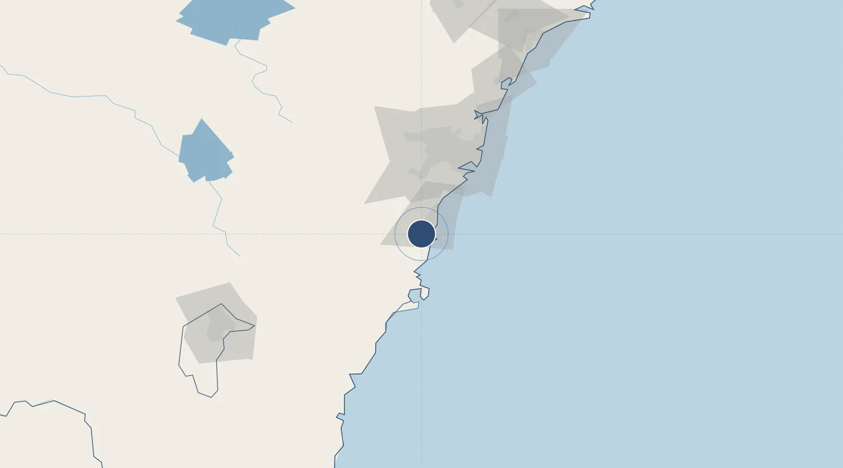
-34.5611°, 150.7890°
5,967 ft
Longest runway
2
Runways
31 ft
Elevation

Runway & Layout

Shellharbour Airport runway & taxiway layout
Runway & taxiway layout — OpenStreetMap (ODbL) / OurAirports

Radio Frequencies

CTAF
127.3 MHz
FSS
124.55 MHz
SYDNEY RADAR
OurAirports

Navaids

WOL NDB Wollongong 239 kHz
OurAirports

Runways · 2

RunwayDimensions SurfaceTrue headingLit
16/34 5,967 × 98ft Asphalt 169°
08/26 4,367 × 98ft Asphalt 094°
OurAirports

Airport Specifications

IATA code
WOL
OurAirports
ICAO code
YSHL
OurAirports
Airport class
Medium airport
OurAirports
Scheduled service
Yes
OurAirports
Runway surface
Asphalt
OurAirports
Served city
Albion Park Rail
OurAirports

Location

Location of YSHL
Natural Earth 10m (public domain) · New South Wales · YSHL · -34.56, 150.79GoogleOSMYandex

Nearby Logistics Neighbours

Airports
  1. 1Naval Air Station Nowra - HMAS Albatross48 km
  2. 2Camden Airport59 km
  3. 3Sydney Bankstown Airport73 km
  4. 4Sydney Kingsford Smith International Airport77 km
  5. 5Goulburn Airport101 km
Nearest neighbours — logibook spatial index (haversine) over the source coordinates
Cities
  1. 1Oak Flats3 km
  2. 2Dapto7 km
  3. 3Kembla14 km
  4. 4Port Kembla15 km
  5. 5Bulli31 km
Nearest neighbours — logibook spatial index (haversine) over the source coordinates
Ports
  1. 1Port Kembla15 km
  2. 2Jervis Bay62 km
  3. 3Botany Bay75 km
  4. 4Sydney86 km
  5. 5Batemans Bay139 km
Nearest neighbours — logibook spatial index (haversine) over the source coordinates
Trade Zones
  1. 1Latrobe Valley Economic Growth Zone567 km
  2. 2Hicks Bay Area Special Economic Zone2472 km
  3. 3Vanuatu Economic Development Zone2677 km
  4. 4Paga Hill Estate Special Economic Zone2813 km
  5. 5Tulagi Island Special Economic Zone2987 km
Nearest neighbours — logibook spatial index (haversine) over the source coordinates
DatabookThe Record of Consolidated Knowledge
Australia beyond logistics?
Browse databook

All Sources

AirportsOurAirports
Public domain
Portsthe NGA World Port Index
Public domain (US gov)
LocationsUN/LOCODE
UN/LOCODE — free
Trade Zonesthe World Bank SEZ database
CC BY 4.0
Trade ZonesOpen Zone Map
CC BY
InfrastructureOpenStreetMap
ODbL 1.0
← Australia airports