Seaport · Australia
GladstoneAUGLT
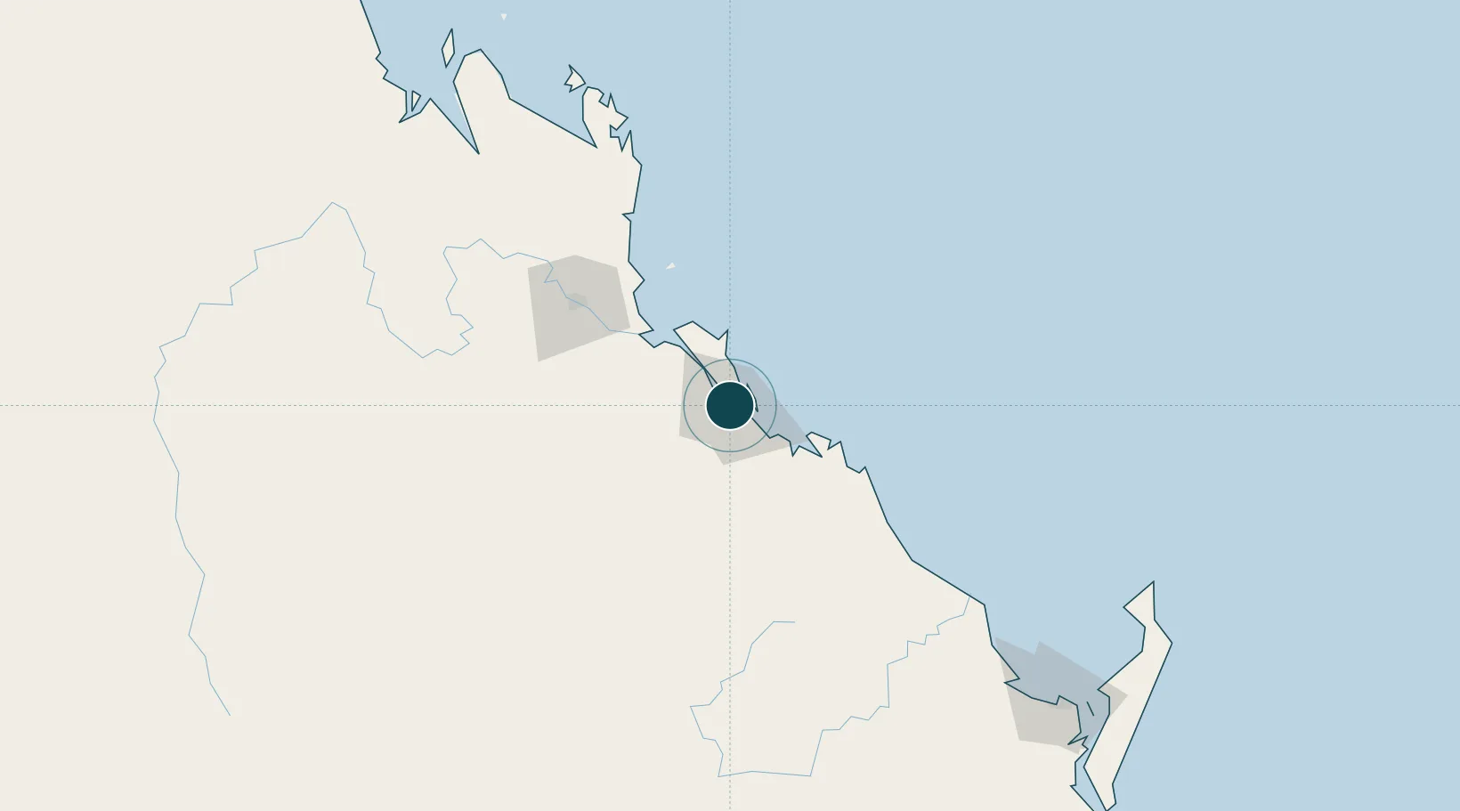
-23.8500°, 151.2500°
10.6 m
Channel depth
28.6
Port liner connectivity
Channel & Berth Profile
Pilotage, Tugs & Services
Pilotage compulsoryYES
Pilotage availableYES
Pilotage advisableYES
Tug assistanceYES
Salvage tugsYES
Shore powerYES
Potable waterYES
Diesel bunkersYES
MedicalYES
Garbage disposalYES
Facilities & Capabilities
ContainerYES
Ro-RoYES
Liquid bulkYES
Dry bulkYES
Oil terminal—
Break bulkYES
Dry dock—
RepairsNO
BunkeringYES
Rail linkYES
Dangerous cargo—
ISPS security—
Harbour Specifications
Harbour size
Small
Harbour type
River (Natural)
Shelter
Excellent
Water body
Coral Sea; South Pacific Ocean
Tidal range
3.2 m
Overhead limit
Yes
Pilotage
Yes
Liner Connectivity
28.6
PLSCI
Port Liner Shipping Connectivity Index for Gladstone, as published by UNCTAD for the latest available quarter. Higher values indicate stronger scheduled liner-shipping integration.
Shown relative to the highest per-port PLSCI in the dataset (1,657.9).
Location
Nearby Logistics Neighbours
Cities
- 1South Trees7 km
- 2Port Alma49 km
- 3Rosslyn Bay90 km
- 4Gracemere94 km
- 5Isis Central195 km
Airports
- 1Gladstone Airport3 km
- 2Rockhampton Airport95 km
- 3Thangool Airport99 km
- 4Bundaberg Airport160 km
- 5Hervey Bay Airport232 km
Trade Zones
DatabookThe Record of Consolidated Knowledge
Australia beyond logistics?