Medium airport · Australia

Bundaberg AirportYBUD
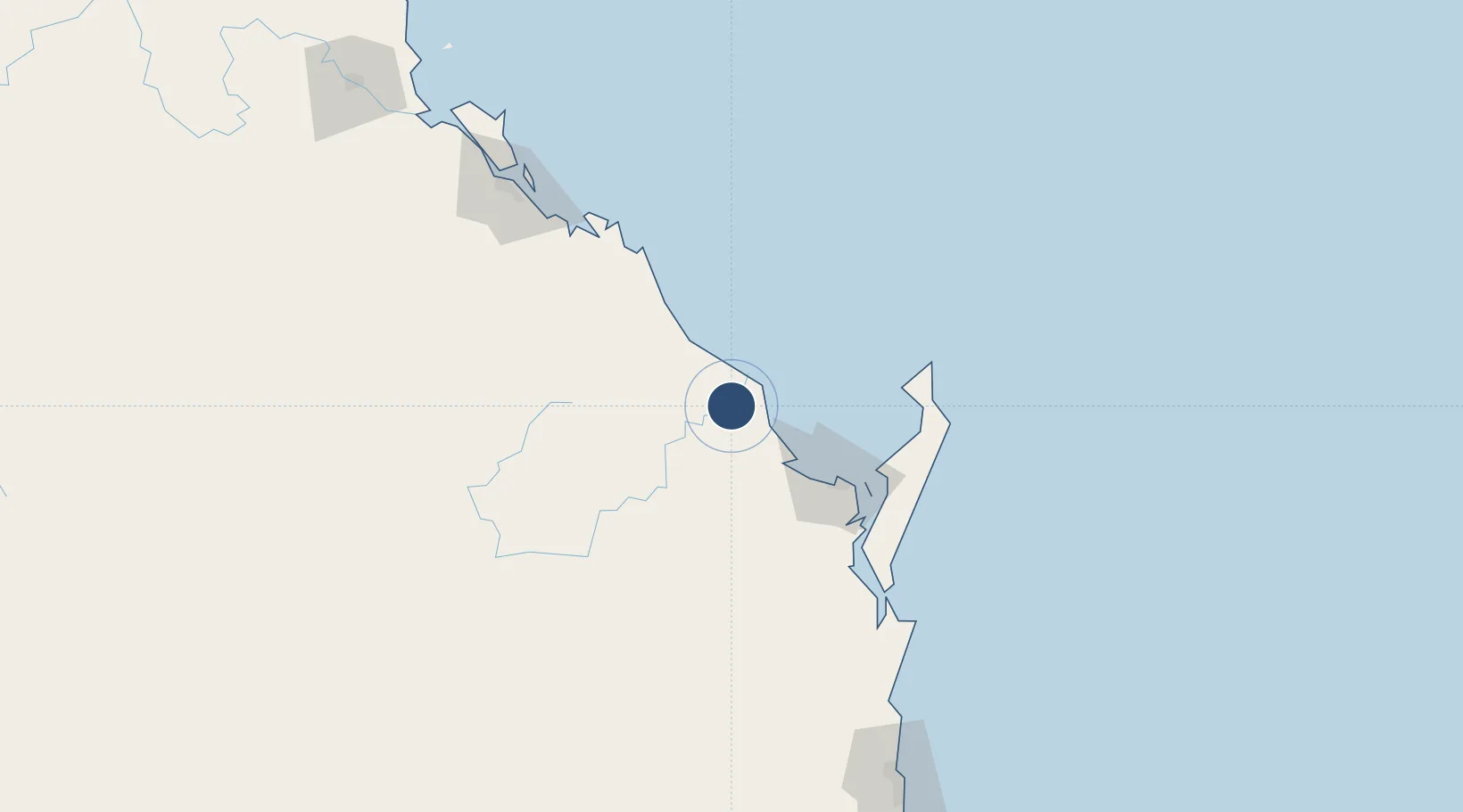
-24.9050°, 152.3226°
6,562 ft
Longest runway
2
Runways
107 ft
Elevation

Runway & Layout

Bundaberg Airport runway & taxiway layout
Runway & taxiway layout — OpenStreetMap (ODbL) / OurAirports

Radio Frequencies

CTAF
126.9 MHz
FSS
124.1 MHz
BRISBANE CNTR
OurAirports

Navaids

BUD NDB Bundaberg 266 kHz
OurAirports

Runways · 2

RunwayDimensions SurfaceTrue headingLit
14/32 6,562 × 98ft Asphalt 148°
07/25 3,701 × 98ft Clay 069°
OurAirports

Airport Specifications

IATA code
BDB
OurAirports
ICAO code
YBUD
OurAirports
Airport class
Medium airport
OurAirports
Scheduled service
Yes
OurAirports
Runway surface
Asphalt
OurAirports
Served city
Bundaberg
OurAirports

Location

Location of YBUD
Natural Earth 10m (public domain) · Queensland · YBUD · -24.91, 152.32GoogleOSMYandex

Nearby Logistics Neighbours

Airports
  1. 1Hervey Bay Airport73 km
  2. 2Gladstone Airport160 km
  3. 3Thangool Airport182 km
  4. 4Kingaroy Airport193 km
  5. 5Sunshine Coast Airport203 km
Nearest neighbours — logibook spatial index (haversine) over the source coordinates
Cities
  1. 1Isis Central37 km
  2. 2Oakhurst75 km
  3. 3Brooweena78 km
  4. 4South Trees154 km
  5. 5Gladstone160 km
Nearest neighbours — logibook spatial index (haversine) over the source coordinates
Ports
  1. 1Bundaberg5 km
  2. 2Gladstone160 km
  3. 3Port Alma210 km
  4. 4Brisbane294 km
  5. 5Ballina458 km
Nearest neighbours — logibook spatial index (haversine) over the source coordinates
Trade Zones
  1. 1Latrobe Valley Economic Growth Zone1584 km
  2. 2Paga Hill Estate Special Economic Zone1800 km
  3. 3Vanuatu Economic Development Zone1866 km
  4. 4Tulagi Island Special Economic Zone1942 km
  5. 5Ihu Special Economic Zone2030 km
Nearest neighbours — logibook spatial index (haversine) over the source coordinates
DatabookThe Record of Consolidated Knowledge
Australia beyond logistics?
Browse databook

All Sources

AirportsOurAirports
Public domain
Portsthe NGA World Port Index
Public domain (US gov)
LocationsUN/LOCODE
UN/LOCODE — free
Trade Zonesthe World Bank SEZ database
CC BY 4.0
Trade ZonesOpen Zone Map
CC BY
InfrastructureOpenStreetMap
ODbL 1.0
← Australia airports