UN/LOCODE hub · Australia
AUICL

Isis Central

-25.2167°, 152.4500°
2
Transport functions

Transport Functions

Rail
Road
UN/LOCODE

Hub Profile

Region
QLD
GeoNames

Location

Location of AUICL
Natural Earth 10m (public domain) · QLD · AUICL · -25.22, 152.45GoogleOSMYandex

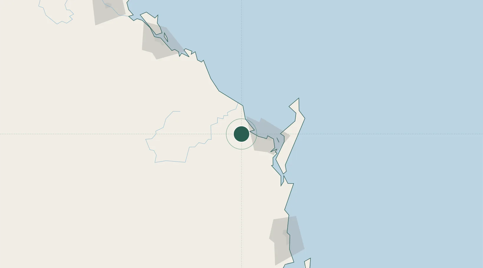
Nearby Logistics Neighbours

Cities
  1. 1Oakhurst38 km
  2. 2Brooweena46 km
  3. 3Yandina158 km
  4. 4Coolum161 km
  5. 5Kunda Park170 km
Nearest neighbours — logibook spatial index (haversine) over the source coordinates
Ports
  1. 1Bundaberg40 km
  2. 2Gladstone195 km
  3. 3Port Alma243 km
  4. 4Brisbane257 km
  5. 5Ballina421 km
Nearest neighbours — logibook spatial index (haversine) over the source coordinates
Airports
  1. 1Bundaberg Airport37 km
  2. 2Hervey Bay Airport45 km
  3. 3Kingaroy Airport164 km
  4. 4Sunshine Coast Airport166 km
  5. 5Gladstone Airport194 km
Nearest neighbours — logibook spatial index (haversine) over the source coordinates
Trade Zones
  1. 1Latrobe Valley Economic Growth Zone1556 km
  2. 2Paga Hill Estate Special Economic Zone1837 km
  3. 3Vanuatu Economic Development Zone1874 km
  4. 4Tulagi Island Special Economic Zone1968 km
  5. 5Ihu Special Economic Zone2067 km
Nearest neighbours — logibook spatial index (haversine) over the source coordinates
DatabookThe Record of Consolidated Knowledge
Australia beyond logistics?
Browse databook

All Sources

LocationsUN/LOCODE
UN/LOCODE — free
Portsthe NGA World Port Index
Public domain (US gov)
AirportsOurAirports
Public domain
Trade Zonesthe World Bank SEZ database
CC BY 4.0
Trade ZonesOpen Zone Map
CC BY
← Australia locations