Transport Functions
Port
Road
Hub Profile
Region
QLD
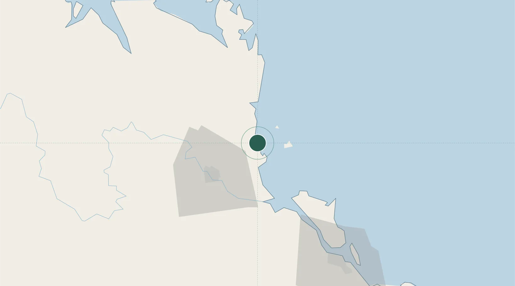
Location
Nearby Logistics Neighbours
Cities
- 1Gracemere45 km
- 2Port Alma47 km
- 3Gladstone89 km
- 4South Trees96 km
- 5Mackay277 km
Airports
- 1Rockhampton Airport39 km
- 2Gladstone Airport90 km
- 3Thangool Airport149 km
- 4Blackwater Airport208 km
- 5Bundaberg Airport249 km
Trade Zones
DatabookThe Record of Consolidated Knowledge
Australia beyond logistics?