Medium airport · Australia

Rockhampton AirportYBRK
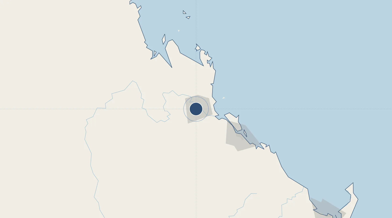
-23.3800°, 150.4754°
8,622 ft
Longest runway
2
Runways
34 ft
Elevation

Runway & Layout

Rockhampton Airport runway & taxiway layout
Runway & taxiway layout — OpenStreetMap (ODbL) / OurAirports

Radio Frequencies

ATIS
116.9 MHz
TWR
118.1 MHz
GND
121.8 MHz
ROCKY GND
CTAF
118.1 MHz
FSS
119.55 MHz
BRISBANE CNTR
OurAirports

Navaids

RK VOR-DME Rockhampton 116.90 MHz
RK NDB Rockhampton 257 kHz
OurAirports

Runways · 2

RunwayDimensions SurfaceTrue headingLit
15/33 8,622 × 148ft Asphalt 159°
04/22 5,397 × 98ft Asphalt 052°
OurAirports

Airport Specifications

IATA code
ROK
OurAirports
ICAO code
YBRK
OurAirports
Airport class
Medium airport
OurAirports
Scheduled service
Yes
OurAirports
Runway surface
Asphalt
OurAirports
Served city
Rockhampton
OurAirports

Location

Location of YBRK
Natural Earth 10m (public domain) · Queensland · YBRK · -23.38, 150.48GoogleOSMYandex

Nearby Logistics Neighbours

Airports
  1. 1Gladstone Airport94 km
  2. 2Thangool Airport124 km
  3. 3Blackwater Airport172 km
  4. 4Dysart Airport232 km
  5. 5Emerald Airport235 km
Nearest neighbours — logibook spatial index (haversine) over the source coordinates
Cities
  1. 1Gracemere7 km
  2. 2Rosslyn Bay39 km
  3. 3Port Alma45 km
  4. 4Gladstone94 km
  5. 5South Trees101 km
Nearest neighbours — logibook spatial index (haversine) over the source coordinates
Ports
  1. 1Port Alma44 km
  2. 2Gladstone95 km
  3. 3Bundaberg252 km
  4. 4Hay Point263 km
  5. 5Mackay283 km
Nearest neighbours — logibook spatial index (haversine) over the source coordinates
Trade Zones
  1. 1Paga Hill Estate Special Economic Zone1585 km
  2. 2Latrobe Valley Economic Growth Zone1697 km
  3. 3Ihu Special Economic Zone1805 km
  4. 4Ledger Atlas Special Economic Zone1887 km
  5. 5Tulagi Island Special Economic Zone1892 km
Nearest neighbours — logibook spatial index (haversine) over the source coordinates
DatabookThe Record of Consolidated Knowledge
Australia beyond logistics?
Browse databook

All Sources

AirportsOurAirports
Public domain
Portsthe NGA World Port Index
Public domain (US gov)
LocationsUN/LOCODE
UN/LOCODE — free
Trade Zonesthe World Bank SEZ database
CC BY 4.0
Trade ZonesOpen Zone Map
CC BY
InfrastructureOpenStreetMap
ODbL 1.0
← Australia airports