Channel & Berth Profile
Pilotage, Tugs & Services
Pilotage compulsoryYES
Pilotage availableYES
Pilotage advisableYES
Tug assistanceYES
Shore powerYES
Potable waterYES
MedicalYES
Garbage disposalYES
Facilities & Capabilities
Container—
Ro-Ro—
Liquid bulkYES
Dry bulkYES
Oil terminal—
Break bulkYES
Dry dock—
RepairsNO
BunkeringYES
Rail linkYES
Dangerous cargoALLOW
ISPS security—
Harbour Specifications
Harbour size
Very Small
Harbour type
River (Natural)
Shelter
Good
Water body
Coral Sea; South Pacific Ocean
Tidal range
2 m
Overhead limit
Yes
Pilotage
Yes
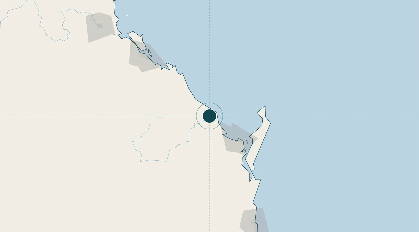
Location
Nearby Logistics Neighbours
Cities
- 1Isis Central40 km
- 2Oakhurst78 km
- 3Brooweena82 km
- 4South Trees152 km
- 5Gladstone159 km
Airports
- 1Bundaberg Airport5 km
- 2Hervey Bay Airport74 km
- 3Gladstone Airport159 km
- 4Thangool Airport184 km
- 5Kingaroy Airport197 km
Trade Zones
DatabookThe Record of Consolidated Knowledge
Australia beyond logistics?