Transport Functions
Port
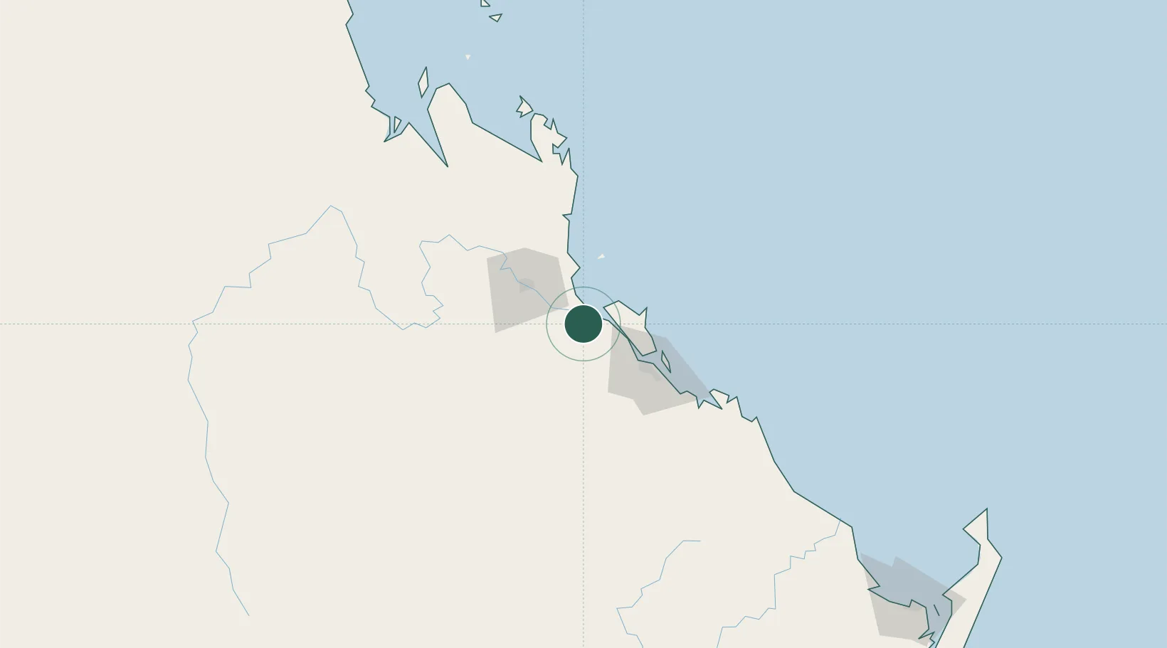
Hub Profile
Place type
Populated place
Region
Queensland
Time zone
Australia/Brisbane
Elevation
7 m
Logistics facilities
1
Location
Nearby Logistics Neighbours
Cities
- 1Gracemere45 km
- 2Rosslyn Bay47 km
- 3Gladstone49 km
- 4South Trees56 km
- 5Isis Central243 km
Airports
- 1Rockhampton Airport45 km
- 2Gladstone Airport49 km
- 3Thangool Airport105 km
- 4Bundaberg Airport209 km
- 5Blackwater Airport209 km
Trade Zones
DatabookThe Record of Consolidated Knowledge
Australia beyond logistics?