Medium airport · Australia

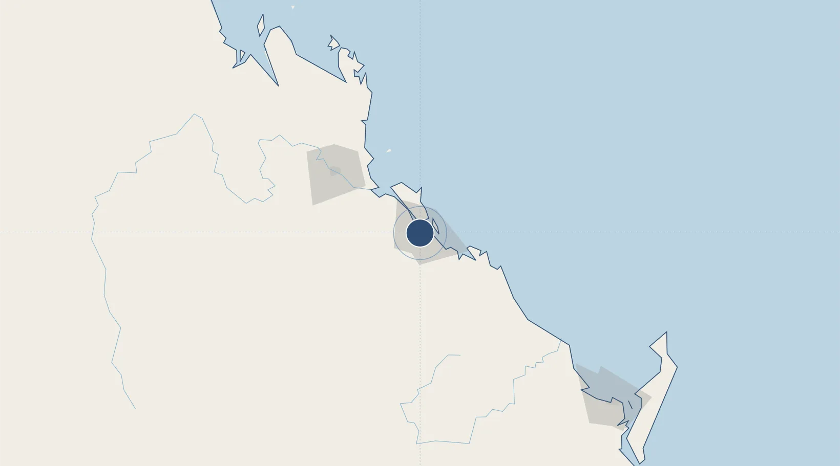
Gladstone AirportYGLA

-23.8698°, 151.2254°
5,364 ft
Longest runway
1
Runways
64 ft
Elevation

Runway & Layout

Gladstone Airport runway & taxiway layout
Runway & taxiway layout — OpenStreetMap (ODbL) / OurAirports

Radio Frequencies

CTAF
118.8 MHz
FSS
119.55 MHz
BRISBANE CNTR
OurAirports

Navaids

GLA VOR Gladstone 116.30 MHz
GLA NDB Gladstone 236 kHz
OurAirports

Runways · 1

RunwayDimensions SurfaceTrue headingLit
10/28 5,364 × 98ft Asphalt 110°
OurAirports

Airport Specifications

IATA code
GLT
OurAirports
ICAO code
YGLA
OurAirports
Airport class
Medium airport
OurAirports
Scheduled service
Yes
OurAirports
Runway surface
Asphalt
OurAirports
Served city
Gladstone
OurAirports

Location

Location of YGLA
Natural Earth 10m (public domain) · Queensland · YGLA · -23.87, 151.23GoogleOSMYandex

Nearby Logistics Neighbours

Airports
  1. 1Rockhampton Airport94 km
  2. 2Thangool Airport96 km
  3. 3Bundaberg Airport160 km
  4. 4Hervey Bay Airport232 km
  5. 5Blackwater Airport248 km
Nearest neighbours — logibook spatial index (haversine) over the source coordinates
Cities
  1. 1Gladstone4 km
  2. 2South Trees7 km
  3. 3Port Alma49 km
  4. 4Rosslyn Bay90 km
  5. 5Gracemere93 km
Nearest neighbours — logibook spatial index (haversine) over the source coordinates
Ports
  1. 1Gladstone3 km
  2. 2Port Alma50 km
  3. 3Bundaberg159 km
  4. 4Hay Point349 km
  5. 5Mackay369 km
Nearest neighbours — logibook spatial index (haversine) over the source coordinates
Trade Zones
  1. 1Paga Hill Estate Special Economic Zone1657 km
  2. 2Latrobe Valley Economic Growth Zone1662 km
  3. 3Ihu Special Economic Zone1882 km
  4. 4Tulagi Island Special Economic Zone1896 km
  5. 5Vanuatu Economic Development Zone1908 km
Nearest neighbours — logibook spatial index (haversine) over the source coordinates
DatabookThe Record of Consolidated Knowledge
Australia beyond logistics?
Browse databook

All Sources

AirportsOurAirports
Public domain
Portsthe NGA World Port Index
Public domain (US gov)
LocationsUN/LOCODE
UN/LOCODE — free
Trade Zonesthe World Bank SEZ database
CC BY 4.0
Trade ZonesOpen Zone Map
CC BY
InfrastructureOpenStreetMap
ODbL 1.0
← Australia airports