Medium airport · Australia

Hervey Bay AirportYHBA
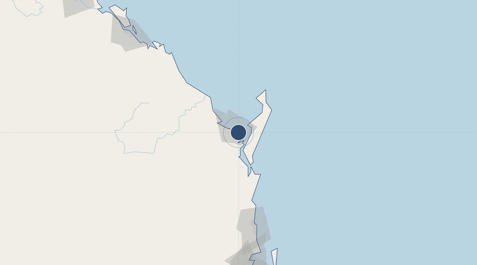
-25.3201°, 152.8807°
6,561 ft
Longest runway
1
Runways
60 ft
Elevation

Runway & Layout

Hervey Bay Airport runway & taxiway layout
Runway & taxiway layout — OpenStreetMap (ODbL) / OurAirports

Radio Frequencies

CTAF
126.55 MHz
FSS
124.6 MHz
BRISBANE CNTR
OurAirports

Navaids

HBA NDB Hervey Bay 200 kHz
OurAirports

Runways · 1

RunwayDimensions SurfaceTrue headingLit
11/29 6,561 × 98ft Asphalt 119°
OurAirports

Airport Specifications

IATA code
HVB
OurAirports
ICAO code
YHBA
OurAirports
Airport class
Medium airport
OurAirports
Scheduled service
Yes
OurAirports
Runway surface
Asphalt
OurAirports
Served city
Hervey Bay
OurAirports

Location

Location of YHBA
Natural Earth 10m (public domain) · Queensland · YHBA · -25.32, 152.88GoogleOSMYandex

Nearby Logistics Neighbours

Airports
  1. 1Bundaberg Airport73 km
  2. 2Sunshine Coast Airport143 km
  3. 3Kingaroy Airport175 km
  4. 4Brisbane International Airport231 km
  5. 5Gladstone Airport232 km
Nearest neighbours — logibook spatial index (haversine) over the source coordinates
Cities
  1. 1Oakhurst33 km
  2. 2Isis Central45 km
  3. 3Brooweena69 km
  4. 4Coolum138 km
  5. 5Yandina139 km
Nearest neighbours — logibook spatial index (haversine) over the source coordinates
Ports
  1. 1Bundaberg74 km
  2. 2Gladstone232 km
  3. 3Brisbane239 km
  4. 4Port Alma282 km
  5. 5Ballina400 km
Nearest neighbours — logibook spatial index (haversine) over the source coordinates
Trade Zones
  1. 1Latrobe Valley Economic Growth Zone1561 km
  2. 2Vanuatu Economic Development Zone1843 km
  3. 3Paga Hill Estate Special Economic Zone1862 km
  4. 4Tulagi Island Special Economic Zone1960 km
  5. 5Ihu Special Economic Zone2094 km
Nearest neighbours — logibook spatial index (haversine) over the source coordinates
DatabookThe Record of Consolidated Knowledge
Australia beyond logistics?
Browse databook

All Sources

AirportsOurAirports
Public domain
Portsthe NGA World Port Index
Public domain (US gov)
LocationsUN/LOCODE
UN/LOCODE — free
Trade Zonesthe World Bank SEZ database
CC BY 4.0
Trade ZonesOpen Zone Map
CC BY
InfrastructureOpenStreetMap
ODbL 1.0
← Australia airports