Seaport · Australia
BrisbaneAUBNE
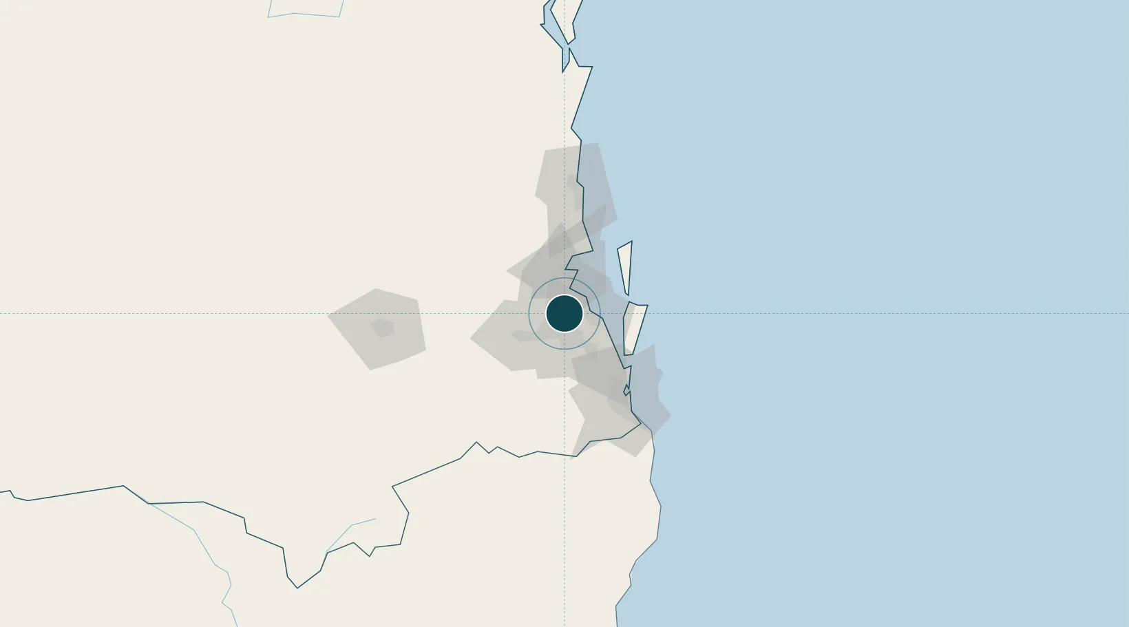
-27.4667°, 153.0333°
9.1 m
Channel depth
4
Container terminals
247.3
Port liner connectivity
Channel & Berth Profile
Pilotage, Tugs & Services
Pilotage compulsoryYES
Pilotage availableYES
Pilotage advisableYES
Tug assistanceYES
Shore powerYES
Potable waterYES
Diesel bunkersYES
MedicalYES
Garbage disposalYES
Facilities & Capabilities
ContainerYES
Ro-RoYES
Liquid bulkYES
Dry bulkYES
Oil terminal—
Break bulkYES
Dry dockNO
RepairsNO
BunkeringYES
Rail linkYES
Dangerous cargo—
ISPS security—
Harbour Specifications
Harbour size
Large
Harbour type
River (Natural)
Shelter
Excellent
Water body
South Pacific Ocean
Tidal range
1.8 m
Overhead limit
Yes
Pilotage
Yes
Liner Connectivity
247.3
PLSCI
Port Liner Shipping Connectivity Index for Brisbane, as published by UNCTAD for the latest available quarter. Higher values indicate stronger scheduled liner-shipping integration.
Shown relative to the highest per-port PLSCI in the dataset (1,657.9).
Location
Container Terminals · 4
AAT BRISBANE FISHERMAN ISLANDS CARGO TERMINAL
AATFI AUSTRALIAN AMALGAMATED TERMINALS
DP WORLD BRISBANE FISHERMAN ISLANDS
DPBNE DP WORLD (AUSTRALIA)
HUTCHISON BRISBANE CONTAINER TERMINALS (BCT)
HPAFI BRISBANE CONTAINER TERMINALS PTY LTD (BCT) / HUTCHISON PORTS BRISBANE
PATRICK BRISBANE AUTOSTRAD TERMINAL
PTFIT PATRICK
Nearby Logistics Neighbours
Cities
- 1South Brisbane2 km
- 2Bowen Hills4 km
- 3Coorparoo4 km
- 4Cannon Hill5 km
- 5Toowong5 km
Airports
- 1Brisbane International Airport12 km
- 2RAAF Base Amberley37 km
- 3Gold Coast Airport91 km
- 4Sunshine Coast Airport97 km
- 5Toowoomba Wellcamp Airport123 km
Trade Zones
DatabookThe Record of Consolidated Knowledge
Australia beyond logistics?