Medium airport · Australia

Thangool AirportYTNG
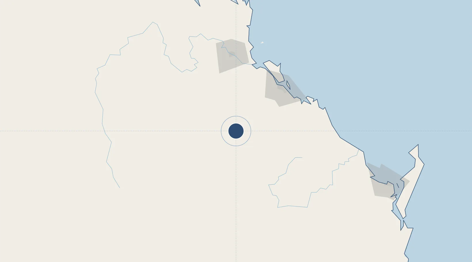
-24.4949°, 150.5780°
4,993 ft
Longest runway
2
Runways
644 ft
Elevation

Runway & Layout

Thangool Airport runway & taxiway layout
Runway & taxiway layout — OpenStreetMap (ODbL) / OurAirports

Radio Frequencies

CTAF
126.7 MHz
FSS
119.55 MHz
BRISBANE CNTR
OurAirports

Navaids

TNG NDB-DME Thangool 0.45 MHz
OurAirports

Runways · 2

RunwayDimensions SurfaceTrue headingLit
10/28 4,993 × 98ft Asphalt 111°
14/32 2,605 × 98ft Clay 140°
OurAirports

Airport Specifications

IATA code
THG
OurAirports
ICAO code
YTNG
OurAirports
Airport class
Medium airport
OurAirports
Scheduled service
Yes
OurAirports
Runway surface
Asphalt
OurAirports
Served city
Biloela
OurAirports

Location

Location of YTNG
Natural Earth 10m (public domain) · Queensland · YTNG · -24.49, 150.58GoogleOSMYandex

Nearby Logistics Neighbours

Airports
  1. 1Gladstone Airport96 km
  2. 2Rockhampton Airport124 km
  3. 3Bundaberg Airport182 km
  4. 4Blackwater Airport205 km
  5. 5Hervey Bay Airport250 km
Nearest neighbours — logibook spatial index (haversine) over the source coordinates
Cities
  1. 1South Trees97 km
  2. 2Gladstone100 km
  3. 3Port Alma105 km
  4. 4Gracemere119 km
  5. 5Rosslyn Bay149 km
Nearest neighbours — logibook spatial index (haversine) over the source coordinates
Ports
  1. 1Gladstone99 km
  2. 2Port Alma105 km
  3. 3Bundaberg184 km
  4. 4Hay Point380 km
  5. 5Mackay401 km
Nearest neighbours — logibook spatial index (haversine) over the source coordinates
Trade Zones
  1. 1Latrobe Valley Economic Growth Zone1578 km
  2. 2Paga Hill Estate Special Economic Zone1708 km
  3. 3Ihu Special Economic Zone1926 km
  4. 4Tulagi Island Special Economic Zone1989 km
  5. 5Vanuatu Economic Development Zone1998 km
Nearest neighbours — logibook spatial index (haversine) over the source coordinates
DatabookThe Record of Consolidated Knowledge
Australia beyond logistics?
Browse databook

All Sources

AirportsOurAirports
Public domain
Portsthe NGA World Port Index
Public domain (US gov)
LocationsUN/LOCODE
UN/LOCODE — free
Trade Zonesthe World Bank SEZ database
CC BY 4.0
Trade ZonesOpen Zone Map
CC BY
InfrastructureOpenStreetMap
ODbL 1.0
← Australia airports