Transport Functions
Road
Multimodal
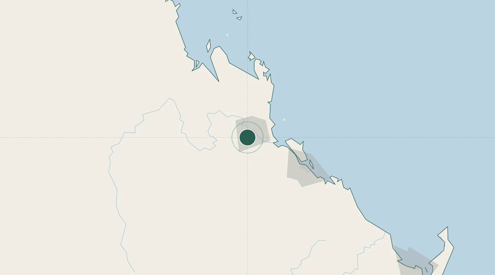
Hub Profile
Place type
Populated place
Region
Queensland
Population
12,023
Time zone
Australia/Brisbane
Elevation
30 m
Location
Nearby Logistics Neighbours
Cities
- 1Port Alma45 km
- 2Rosslyn Bay45 km
- 3Gladstone94 km
- 4South Trees100 km
- 5Mackay283 km
Airports
- 1Rockhampton Airport7 km
- 2Gladstone Airport93 km
- 3Thangool Airport119 km
- 4Blackwater Airport169 km
- 5Dysart Airport232 km
Trade Zones
DatabookThe Record of Consolidated Knowledge
Australia beyond logistics?