Seaport · Australia

MackayAUMKY

-21.1167°, 149.2167°
8.5 m
Channel depth
9.5
Port liner connectivity
Mackay is also a UN/LOCODE logistics hub →

Channel & Berth Profile

SEA LEVEL (CD)CHANNEL BEDChannel · 8.5 mCargo pier · 10.6 mOil terminal · 10.6 m
NGA World Port Index

Pilotage, Tugs & Services

Pilotage compulsoryYES
Pilotage availableYES
Pilotage advisableYES
Local assistanceYES
Tug assistanceYES
Salvage tugsNO
Shore powerYES
Potable waterYES
MedicalYES
Garbage disposalYES
NGA World Port Index

Facilities & Capabilities

Container
Ro-Ro
Liquid bulk
Dry bulk
Oil terminal
Break bulk
Dry dock
RepairsNO
BunkeringYES
Rail linkYES
Dangerous cargo
ISPS security
NGA World Port Index

Harbour Specifications

Harbour size
Small
NGA World Port Index
Harbour type
Coastal (Breakwater)
NGA World Port Index
Shelter
Good
NGA World Port Index
Water body
Coral Sea; South Pacific Ocean
NGA World Port Index
Tidal range
2.1 m
NGA World Port Index
Overhead limit
Yes
NGA World Port Index
Pilotage
Yes
NGA World Port Index

Liner Connectivity

9.5
PLSCI

Port Liner Shipping Connectivity Index for Mackay, as published by UNCTAD for the latest available quarter. Higher values indicate stronger scheduled liner-shipping integration.

Shown relative to the highest per-port PLSCI in the dataset (1,657.9).
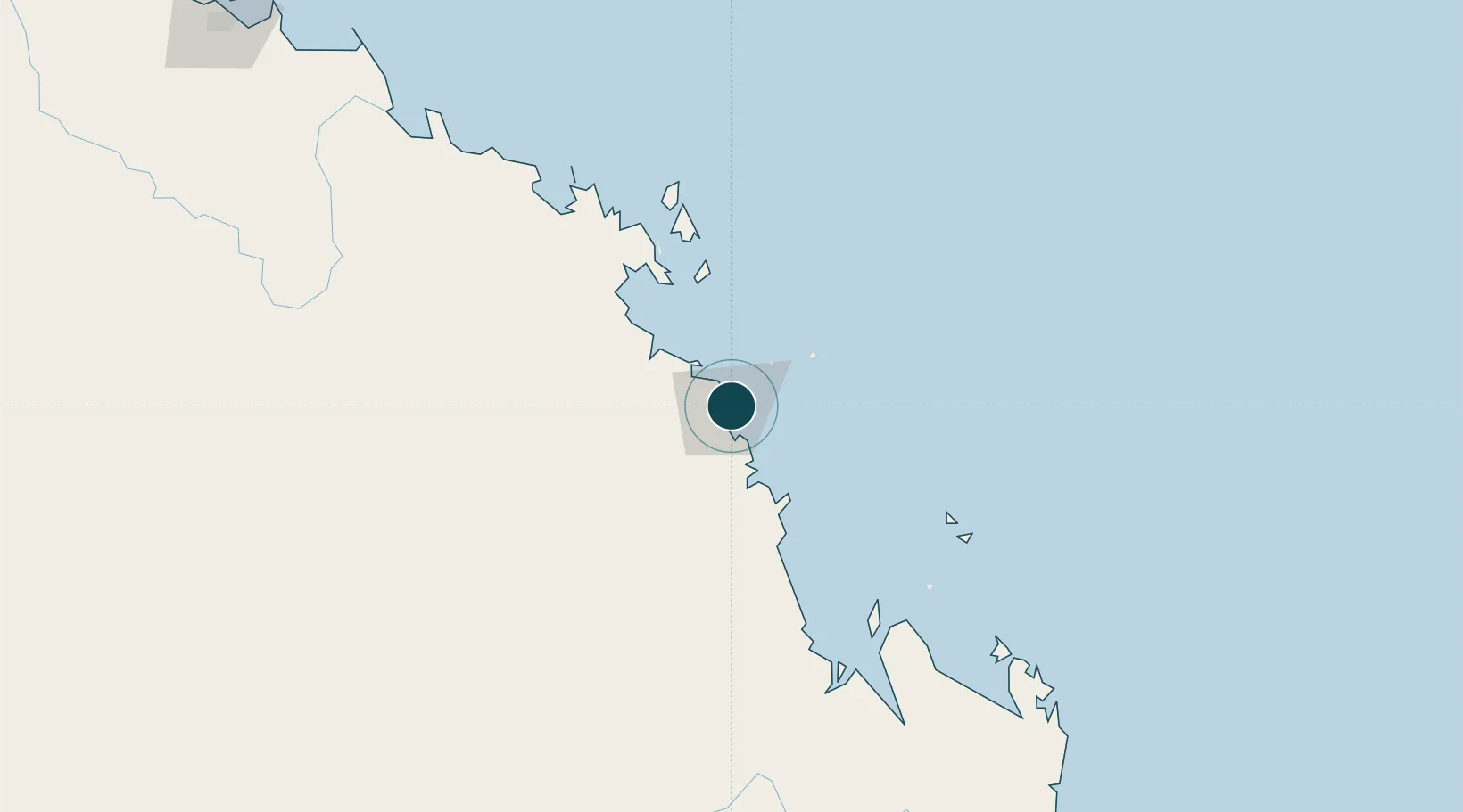
UNCTAD · Port Liner Shipping Connectivity Index

Location

Location of AUMKY
Natural Earth 10m (public domain) · Queensland · AUMKY · -21.12, 149.22GoogleOSMYandex

Nearby Logistics Neighbours

Ports
  1. 1Hay Point20 km
  2. 2Port Alma322 km
  3. 3Townsville324 km
  4. 4Gladstone369 km
  5. 5Lucinda418 km
Nearest neighbours — logibook spatial index (haversine) over the source coordinates
Cities
  1. 1Pleystowe21 km
  2. 2Whitsunday Island99 km
  3. 3Abell Point108 km
  4. 4Red Hill116 km
  5. 5Abbot Point180 km
Nearest neighbours — logibook spatial index (haversine) over the source coordinates
Airports
  1. 1Mackay Airport7 km
  2. 2Hamilton Island Airport89 km
  3. 3Proserpine Whitsunday Coast Airport98 km
  4. 4Hayman Island Resort Seaplane Base123 km
  5. 5Moranbah Airport158 km
Nearest neighbours — logibook spatial index (haversine) over the source coordinates
Trade Zones
  1. 1Paga Hill Estate Special Economic Zone1313 km
  2. 2Ihu Special Economic Zone1527 km
  3. 3Ledger Atlas Special Economic Zone1621 km
  4. 4Nadzab (Momase) Special Economic Zone1636 km
  5. 5Morobe Agricultural Special Economic Zone1650 km
Nearest neighbours — logibook spatial index (haversine) over the source coordinates
DatabookThe Record of Consolidated Knowledge
Australia beyond logistics?
Browse databook

All Sources

Portsthe NGA World Port Index
Public domain (US gov)
Logistics performanceUNCTAD
CC BY 3.0 IGO
AirportsOurAirports
Public domain
LocationsUN/LOCODE
UN/LOCODE — free
Trade Zonesthe World Bank SEZ database
CC BY 4.0
Trade ZonesOpen Zone Map
CC BY
← Australia ports