Transport Functions
Port
Airport
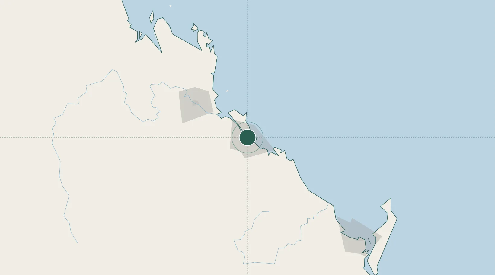
Hub Profile
Place type
Provincial seat
Region
Queensland
Population
45,185
Time zone
Australia/Brisbane
Elevation
21 m
Logistics facilities
1
Location
Nearby Logistics Neighbours
Cities
- 1South Trees7 km
- 2Port Alma49 km
- 3Rosslyn Bay89 km
- 4Gracemere94 km
- 5Isis Central195 km
Airports
- 1Gladstone Airport4 km
- 2Rockhampton Airport94 km
- 3Thangool Airport100 km
- 4Bundaberg Airport160 km
- 5Hervey Bay Airport233 km
Trade Zones
DatabookThe Record of Consolidated Knowledge
Australia beyond logistics?