Transport Functions
Port
Rail
Road
Hub Profile
Place type
Populated place
Region
Queensland
Time zone
Australia/Brisbane
Elevation
9 m
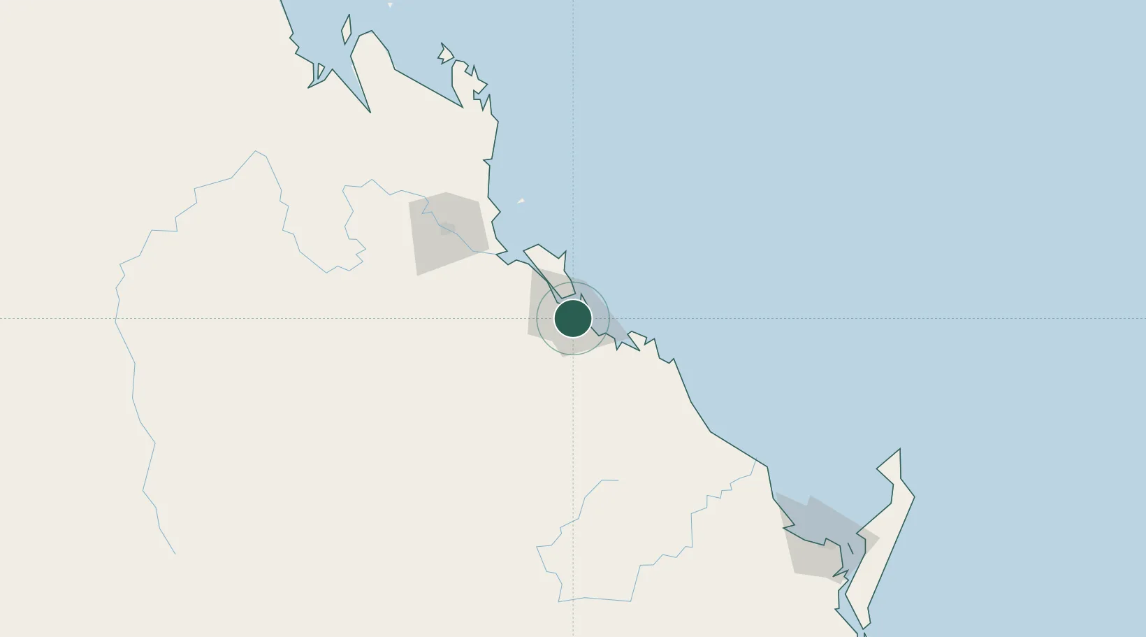
Location
Nearby Logistics Neighbours
Cities
- 1Gladstone7 km
- 2Port Alma56 km
- 3Rosslyn Bay96 km
- 4Gracemere100 km
- 5Isis Central188 km
Airports
- 1Gladstone Airport7 km
- 2Thangool Airport97 km
- 3Rockhampton Airport101 km
- 4Bundaberg Airport154 km
- 5Hervey Bay Airport226 km
Trade Zones
DatabookThe Record of Consolidated Knowledge
Australia beyond logistics?