Medium airport · Australia
Mareeba AirportYMBA
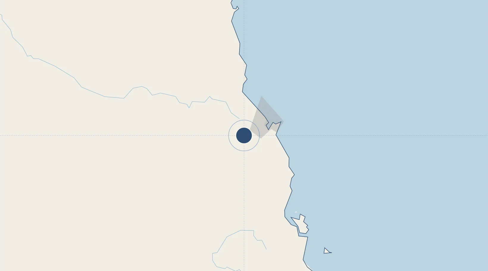
-17.0703°, 145.4242°
4,938 ft
Longest runway
1
Runways
1,560 ft
Elevation
Runway & Layout

Radio Frequencies
CTAF
126.7 MHz
FSS
126.1 MHz
CAIRNS APP
Runways · 1
| Runway | Dimensions | Surface | True heading | Lit |
|---|---|---|---|---|
| 10/28 | 4,938 × 98ft | Asphalt | 108° | ✓ |
Airport Specifications
IATA code
MRG
ICAO code
YMBA
Airport class
Medium airport
Scheduled service
No
Runway surface
Asphalt
Served city
Mareeba
Location
Nearby Logistics Neighbours
Airports
- 1Cairns International Airport41 km
- 2Cooktown Airport183 km
- 3Palm Island Airport224 km
- 4Townsville Airport / RAAF Base Townsville281 km
- 5Kowanyama Airport430 km
Cities
- 1Atherton22 km
- 2Cairns37 km
- 3Woree37 km
- 4Hillcrest38 km
- 5Hinchinbrook Island172 km
Ports
- 1Cairns42 km
- 2Mourilyan Harbour96 km
- 3Lucinda187 km
- 4Cape Flattery Harbor236 km
- 5Townsville285 km
Trade Zones
DatabookThe Record of Consolidated Knowledge
Australia beyond logistics?