Seaport · Australia
TownsvilleAUTSV
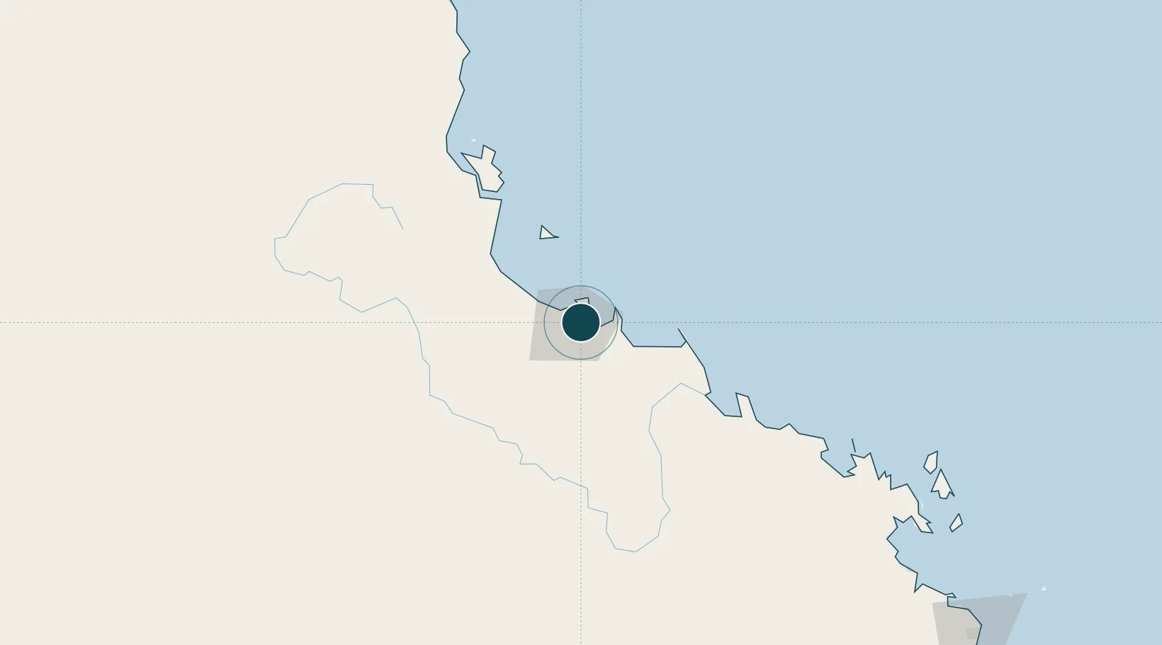
-19.2667°, 146.8167°
11.0 m
Channel depth
64.2
Port liner connectivity
Channel & Berth Profile
Pilotage, Tugs & Services
Pilotage compulsoryYES
Pilotage availableYES
Pilotage advisableYES
Tug assistanceYES
Salvage tugsNO
Potable waterYES
MedicalYES
Garbage disposalYES
Facilities & Capabilities
Container—
Ro-RoYES
Liquid bulk—
Dry bulk—
Oil terminal—
Break bulk—
Dry dock—
RepairsNO
BunkeringYES
Rail linkYES
Dangerous cargo—
ISPS security—
Harbour Specifications
Harbour size
Small
Harbour type
Coastal (Breakwater)
Shelter
Fair
Water body
Coral Sea; South Pacific Ocean
Tidal range
2 m
Overhead limit
No
Pilotage
Yes
Liner Connectivity
64.2
PLSCI
Port Liner Shipping Connectivity Index for Townsville, as published by UNCTAD for the latest available quarter. Higher values indicate stronger scheduled liner-shipping integration.
Shown relative to the highest per-port PLSCI in the dataset (1,657.9).
Location
Nearby Logistics Neighbours
Ports
- 1Lucinda98 km
- 2Mourilyan Harbour199 km
- 3Cairns283 km
- 4Mackay324 km
- 5Hay Point343 km
Cities
- 1Garbutt5 km
- 2Mount Louisa9 km
- 3Hinchinbrook Island113 km
- 4Abbot Point150 km
- 5Red Hill211 km
Airports
Trade Zones
DatabookThe Record of Consolidated Knowledge
Australia beyond logistics?