Channel & Berth Profile
Pilotage, Tugs & Services
Pilotage compulsoryYES
Pilotage availableYES
Pilotage advisableYES
Tug assistanceYES
Shore powerYES
Potable waterYES
Diesel bunkersNO
MedicalYES
Garbage disposalNO
Facilities & Capabilities
Container—
Ro-Ro—
Liquid bulk—
Dry bulk—
Oil terminal—
Break bulk—
Dry dock—
RepairsNO
BunkeringNO
Rail linkYES
Dangerous cargo—
ISPS security—
Harbour Specifications
Harbour size
Small
Harbour type
Coastal (Natural)
Shelter
Good
Water body
Coral Sea; South Pacific Ocean
Tidal range
1 m
Overhead limit
Yes
Pilotage
Yes
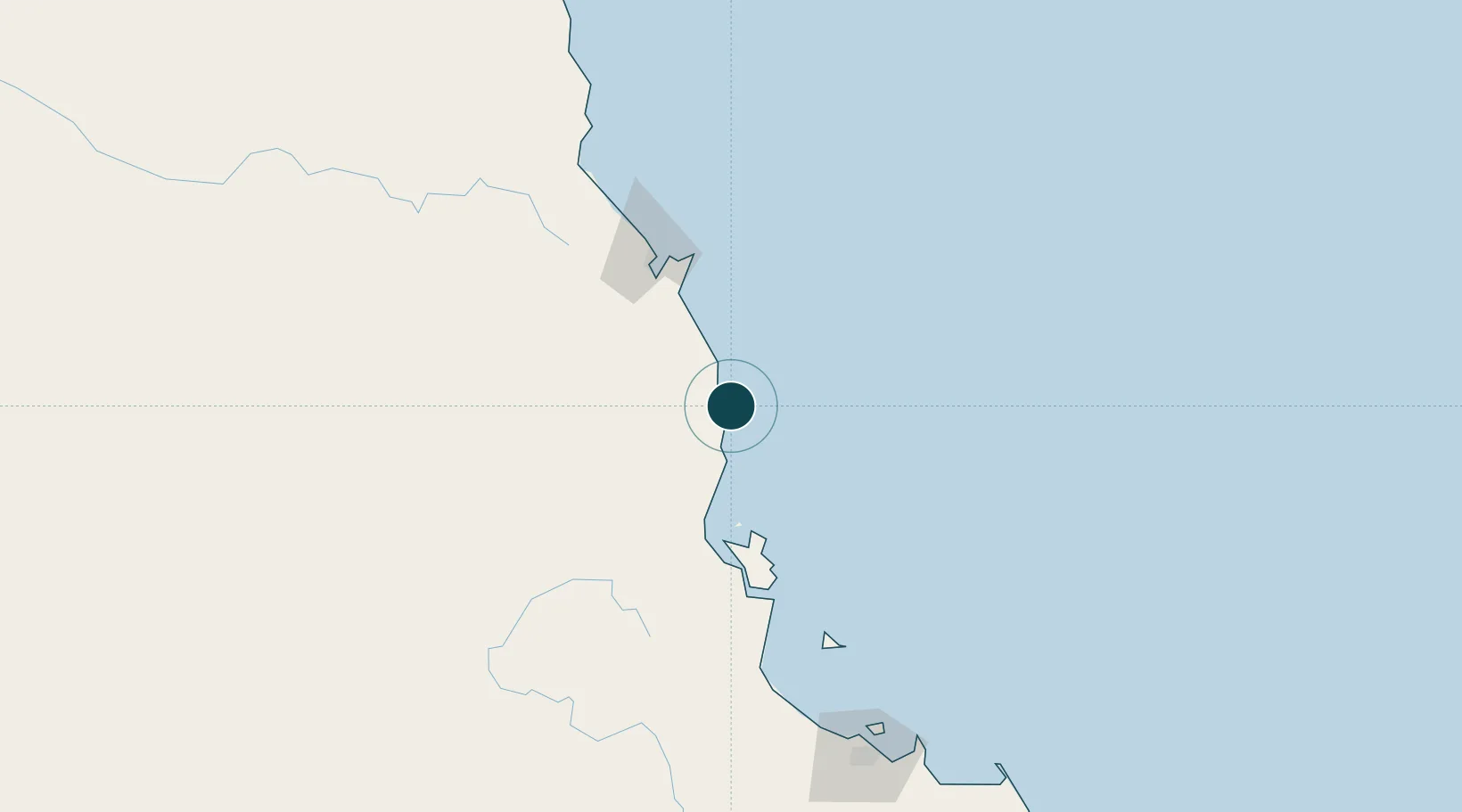
Location
Nearby Logistics Neighbours
Ports
- 1Cairns85 km
- 2Lucinda104 km
- 3Townsville199 km
- 4Cape Flattery Harbor306 km
- 5Mackay507 km
Cities
- 1Hillcrest62 km
- 2Atherton80 km
- 3Cairns82 km
- 4Woree83 km
- 5Hinchinbrook Island89 km
Airports
- 1Cairns International Airport90 km
- 2Mareeba Airport96 km
- 3Palm Island Airport137 km
- 4Townsville Airport / RAAF Base Townsville196 km
- 5Cooktown Airport260 km
Trade Zones
DatabookThe Record of Consolidated Knowledge
Australia beyond logistics?