Medium airport · Australia

Cooktown AirportYCKN
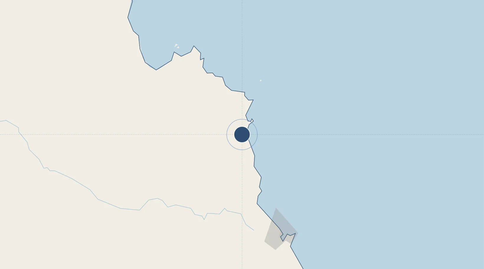
-15.4436°, 145.1832°
5,338 ft
Longest runway
1
Runways
26 ft
Elevation

Runway & Layout

Cooktown Airport runway & taxiway layout
Runway & taxiway layout — OpenStreetMap (ODbL) / OurAirports

Radio Frequencies

CTAF
126.7 MHz
FSS
134.65 MHz
BRISBANE CNTR
OurAirports

Navaids

CKN NDB Cooktown 260 kHz
OurAirports

Runways · 1

RunwayDimensions SurfaceTrue headingLit
11/29 5,338 × 98ft Asphalt 111°
OurAirports

Airport Specifications

IATA code
CTN
OurAirports
ICAO code
YCKN
OurAirports
Airport class
Medium airport
OurAirports
Scheduled service
Yes
OurAirports
Runway surface
Asphalt
OurAirports

Location

Location of YCKN
Natural Earth 10m (public domain) · Queensland · YCKN · -15.44, 145.18GoogleOSMYandex

Nearby Logistics Neighbours

Airports
  1. 1Cairns International Airport171 km
  2. 2Mareeba Airport183 km
  3. 3Coen Airport291 km
  4. 4Lockhart River Airport358 km
  5. 5Kowanyama Airport368 km
Nearest neighbours — logibook spatial index (haversine) over the source coordinates
Cities
  1. 1Woree178 km
  2. 2Cairns179 km
  3. 3Atherton205 km
  4. 4Hillcrest218 km
  5. 5Hinchinbrook Island347 km
Nearest neighbours — logibook spatial index (haversine) over the source coordinates
Ports
  1. 1Cape Flattery Harbor58 km
  2. 2Cairns176 km
  3. 3Mourilyan Harbour260 km
  4. 4Lucinda363 km
  5. 5Townsville459 km
Nearest neighbours — logibook spatial index (haversine) over the source coordinates
Trade Zones
  1. 1Paga Hill Estate Special Economic Zone696 km
  2. 2Ihu Special Economic Zone840 km
  3. 3Morobe Agricultural Special Economic Zone980 km
  4. 4Nadzab (Momase) Special Economic Zone1000 km
  5. 5Ledger Atlas Special Economic Zone1025 km
Nearest neighbours — logibook spatial index (haversine) over the source coordinates
DatabookThe Record of Consolidated Knowledge
Australia beyond logistics?
Browse databook

All Sources

AirportsOurAirports
Public domain
Portsthe NGA World Port Index
Public domain (US gov)
LocationsUN/LOCODE
UN/LOCODE — free
Trade Zonesthe World Bank SEZ database
CC BY 4.0
Trade ZonesOpen Zone Map
CC BY
InfrastructureOpenStreetMap
ODbL 1.0
← Australia airports