Transport Functions
Rail
Road
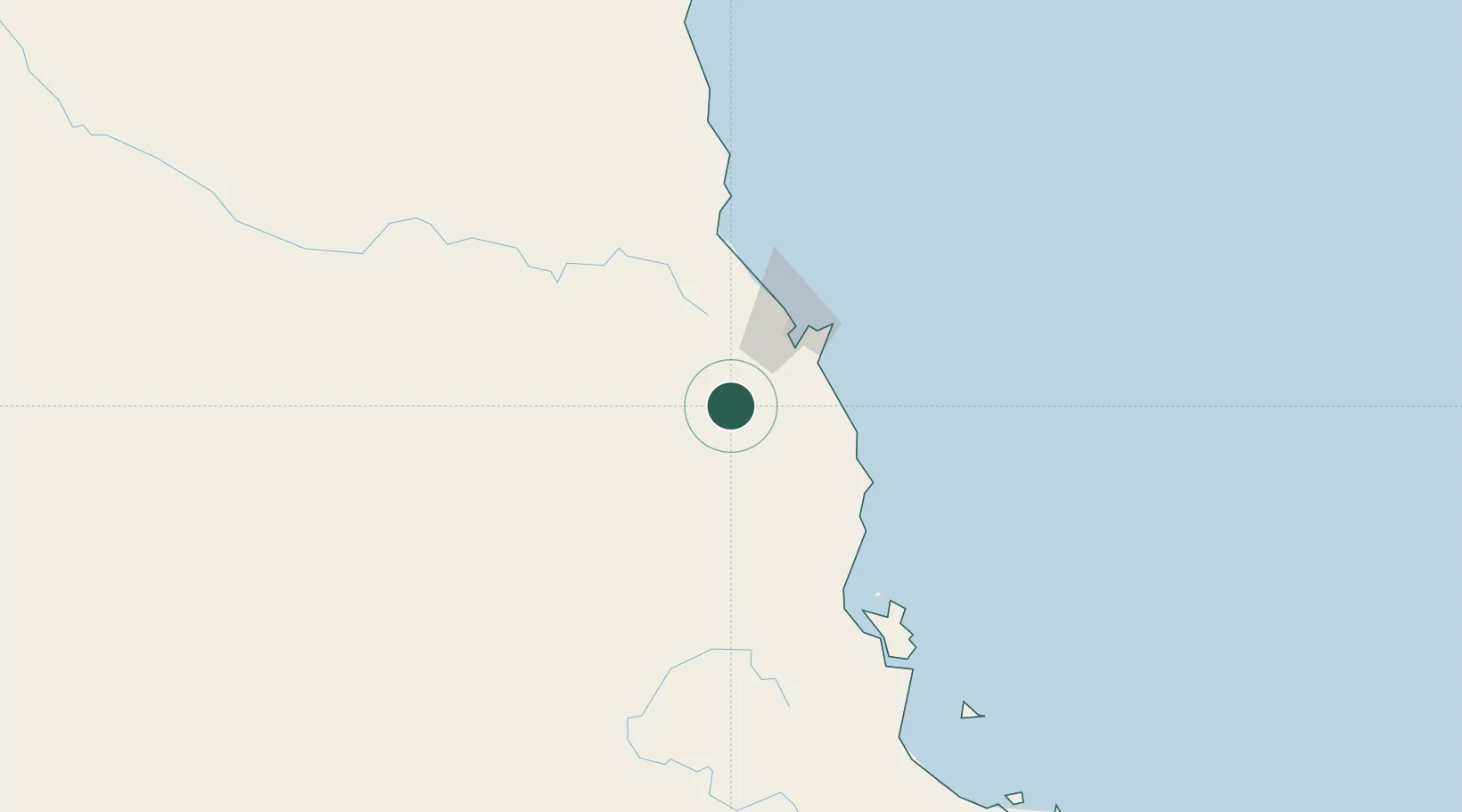
Hub Profile
Place type
Populated place
Region
Queensland
Population
7,576
Time zone
Australia/Brisbane
Elevation
765 m
Location
Nearby Logistics Neighbours
Cities
- 1Hillcrest18 km
- 2Cairns46 km
- 3Woree46 km
- 4Hinchinbrook Island151 km
- 5Mount Louisa261 km
Ports
- 1Cairns52 km
- 2Mourilyan Harbour80 km
- 3Lucinda167 km
- 4Cape Flattery Harbor258 km
- 5Townsville264 km
Airports
- 1Mareeba Airport22 km
- 2Cairns International Airport53 km
- 3Palm Island Airport203 km
- 4Cooktown Airport205 km
- 5Townsville Airport / RAAF Base Townsville260 km
Trade Zones
DatabookThe Record of Consolidated Knowledge
Australia beyond logistics?