Transport Functions
Multimodal
Hub Profile
Place type
Populated place
Region
Queensland
Time zone
Australia/Brisbane
Elevation
746 m
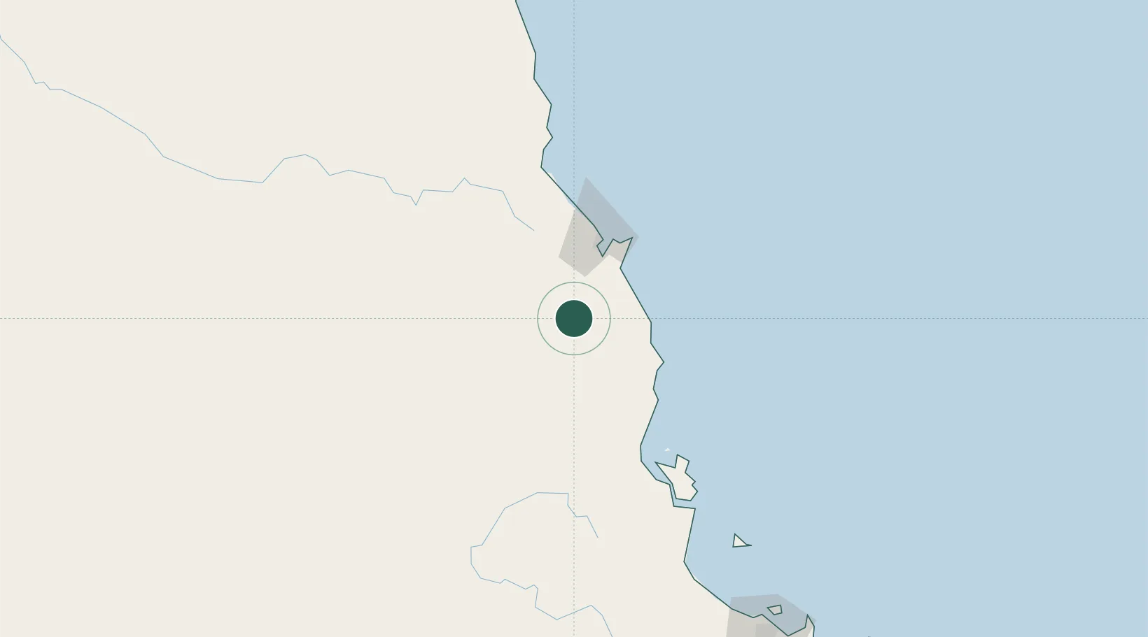
Location
Nearby Logistics Neighbours
Cities
- 1Atherton18 km
- 2Cairns48 km
- 3Woree49 km
- 4Hinchinbrook Island134 km
- 5Mount Louisa244 km
Ports
- 1Cairns54 km
- 2Mourilyan Harbour62 km
- 3Lucinda150 km
- 4Townsville247 km
- 5Cape Flattery Harbor270 km
Airports
- 1Mareeba Airport38 km
- 2Cairns International Airport57 km
- 3Palm Island Airport186 km
- 4Cooktown Airport218 km
- 5Townsville Airport / RAAF Base Townsville243 km
Trade Zones
DatabookThe Record of Consolidated Knowledge
Australia beyond logistics?