Large airport · Australia

Cairns International AirportYBCS
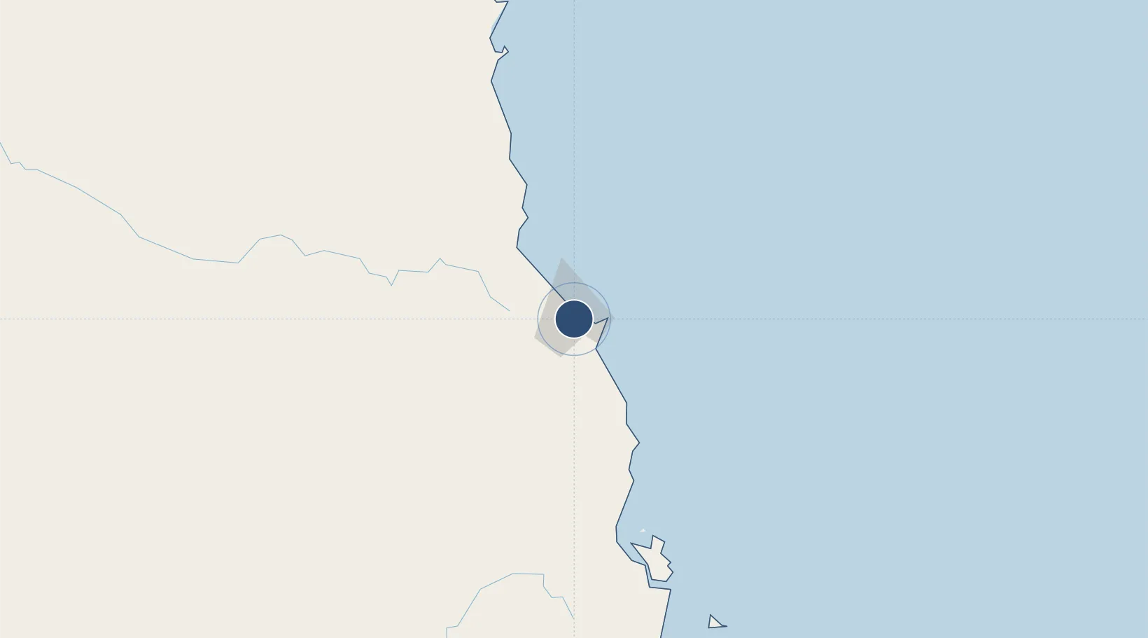
-16.8789°, 145.7495°
10,489 ft
Longest runway
1
Runways
10 ft
Elevation

Runway & Layout

Cairns International Airport runway & taxiway layout
Runway & taxiway layout — OpenStreetMap (ODbL) / OurAirports

Radio Frequencies

ATIS
113 MHz
TWR
124.9 MHz
GND
121.7 MHz
CLD
121.7 MHz
CLNC DEL
A/D
118.4 MHz
APP/DEP
OurAirports

Navaids

CS VOR-DME Cairns 113.00 MHz
CS NDB Cairns 364 kHz
OurAirports

Runways · 1

RunwayDimensions SurfaceTrue headingLit
15/33 10,489 × 148ft Asphalt 156°
OurAirports

Airport Specifications

IATA code
CNS
OurAirports
ICAO code
YBCS
OurAirports
Airport class
Large airport
OurAirports
Scheduled service
Yes
OurAirports
Runway surface
Asphalt
OurAirports
Served city
Cairns
OurAirports

Location

Location of YBCS
Natural Earth 10m (public domain) · Queensland · YBCS · -16.88, 145.75GoogleOSMYandex

Nearby Logistics Neighbours

Airports
  1. 1Mareeba Airport41 km
  2. 2Cooktown Airport171 km
  3. 3Palm Island Airport227 km
  4. 4Townsville Airport / RAAF Base Townsville285 km
  5. 5Coen Airport447 km
Nearest neighbours — logibook spatial index (haversine) over the source coordinates
Cities
  1. 1Woree8 km
  2. 2Cairns9 km
  3. 3Atherton53 km
  4. 4Hillcrest57 km
  5. 5Hinchinbrook Island177 km
Nearest neighbours — logibook spatial index (haversine) over the source coordinates
Ports
  1. 1Cairns6 km
  2. 2Mourilyan Harbour90 km
  3. 3Lucinda192 km
  4. 4Cape Flattery Harbor219 km
  5. 5Townsville289 km
Nearest neighbours — logibook spatial index (haversine) over the source coordinates
Trade Zones
  1. 1Paga Hill Estate Special Economic Zone836 km
  2. 2Ihu Special Economic Zone1000 km
  3. 3Morobe Agricultural Special Economic Zone1137 km
  4. 4Nadzab (Momase) Special Economic Zone1149 km
  5. 5Ledger Atlas Special Economic Zone1166 km
Nearest neighbours — logibook spatial index (haversine) over the source coordinates
DatabookThe Record of Consolidated Knowledge
Australia beyond logistics?
Browse databook

All Sources

AirportsOurAirports
Public domain
Portsthe NGA World Port Index
Public domain (US gov)
LocationsUN/LOCODE
UN/LOCODE — free
Trade Zonesthe World Bank SEZ database
CC BY 4.0
Trade ZonesOpen Zone Map
CC BY
InfrastructureOpenStreetMap
ODbL 1.0
← Australia airports