Transport Functions
Rail
Road
Hub Profile
Place type
Urban district
Region
Queensland
Population
5,351
Time zone
Australia/Brisbane
Elevation
7 m
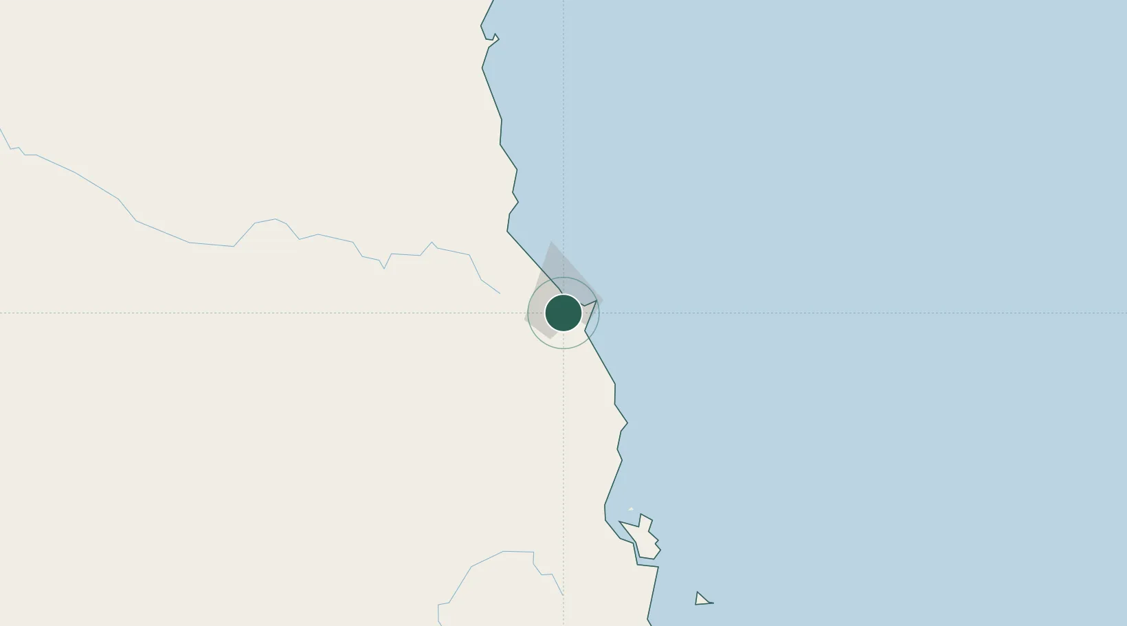
Location
Nearby Logistics Neighbours
Cities
- 1Cairns1 km
- 2Atherton46 km
- 3Hillcrest49 km
- 4Hinchinbrook Island169 km
- 5Garbutt279 km
Ports
- 1Cairns5 km
- 2Mourilyan Harbour83 km
- 3Lucinda185 km
- 4Cape Flattery Harbor227 km
- 5Townsville281 km
Airports
- 1Cairns International Airport8 km
- 2Mareeba Airport37 km
- 3Cooktown Airport178 km
- 4Palm Island Airport219 km
- 5Townsville Airport / RAAF Base Townsville278 km
Trade Zones
DatabookThe Record of Consolidated Knowledge
Australia beyond logistics?