Channel & Berth Profile
Pilotage, Tugs & Services
Pilotage compulsoryYES
Pilotage availableYES
Tug assistanceYES
Salvage tugsNO
Potable waterNO
Diesel bunkersNO
MedicalYES
Garbage disposalYES
Facilities & Capabilities
Container—
Ro-Ro—
Liquid bulk—
Dry bulkYES
Oil terminal—
Break bulk—
Dry dock—
RepairsNO
BunkeringNO
Rail linkYES
Dangerous cargo—
ISPS security—
Harbour Specifications
Harbour size
Very Small
Harbour type
Open Roadstead
Shelter
Fair
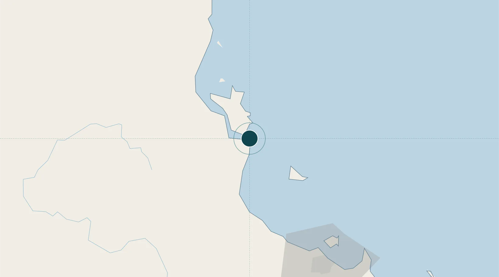
Water body
Coral Sea; South Pacific Ocean
Tidal range
2 m
Overhead limit
Yes
Pilotage
Yes
Location
Nearby Logistics Neighbours
Ports
- 1Townsville98 km
- 2Mourilyan Harbour104 km
- 3Cairns187 km
- 4Cape Flattery Harbor410 km
- 5Mackay418 km
Cities
- 1Hinchinbrook Island16 km
- 2Garbutt95 km
- 3Mount Louisa95 km
- 4Townsville100 km
- 5Hillcrest150 km
Airports
Trade Zones
DatabookThe Record of Consolidated Knowledge
Australia beyond logistics?