UN/LOCODE hub · Australia
AUHNK

Hinchinbrook Island

-18.3833°, 146.2833°
2
Transport functions

Transport Functions

Port
Airport
UN/LOCODE

Hub Profile

Region
QLD
GeoNames

Location

Location of AUHNK
Natural Earth 10m (public domain) · QLD · AUHNK · -18.38, 146.28GoogleOSMYandex

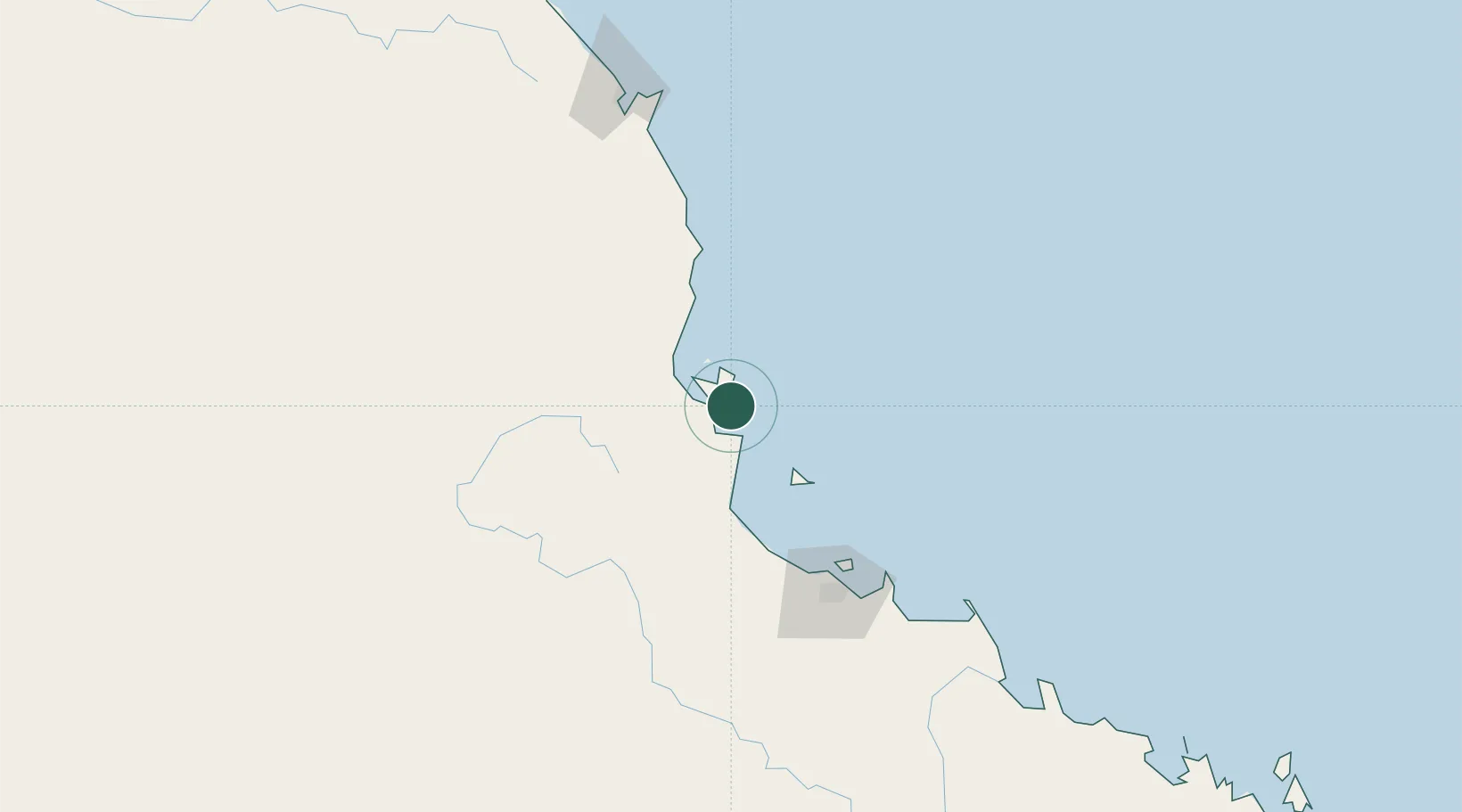
Nearby Logistics Neighbours

Cities
  1. 1Garbutt111 km
  2. 2Mount Louisa111 km
  3. 3Townsville115 km
  4. 4Hillcrest134 km
  5. 5Atherton151 km
Nearest neighbours — logibook spatial index (haversine) over the source coordinates
Ports
  1. 1Lucinda16 km
  2. 2Mourilyan Harbour89 km
  3. 3Townsville113 km
  4. 4Cairns172 km
  5. 5Cape Flattery Harbor395 km
Nearest neighbours — logibook spatial index (haversine) over the source coordinates
Airports
  1. 1Palm Island Airport52 km
  2. 2Townsville Airport / RAAF Base Townsville109 km
  3. 3Mareeba Airport172 km
  4. 4Cairns International Airport177 km
  5. 5Hayman Island Resort Seaplane Base330 km
Nearest neighbours — logibook spatial index (haversine) over the source coordinates
Trade Zones
  1. 1Paga Hill Estate Special Economic Zone994 km
  2. 2Ihu Special Economic Zone1170 km
  3. 3Morobe Agricultural Special Economic Zone1305 km
  4. 4Nadzab (Momase) Special Economic Zone1312 km
  5. 5Ledger Atlas Special Economic Zone1321 km
Nearest neighbours — logibook spatial index (haversine) over the source coordinates
DatabookThe Record of Consolidated Knowledge
Australia beyond logistics?
Browse databook

All Sources

LocationsUN/LOCODE
UN/LOCODE — free
Portsthe NGA World Port Index
Public domain (US gov)
AirportsOurAirports
Public domain
Trade Zonesthe World Bank SEZ database
CC BY 4.0
Trade ZonesOpen Zone Map
CC BY
← Australia locations