Transport Functions
Port
Airport
Hub Profile
Place type
Populated place
Region
Queensland
Population
153,075
Time zone
Australia/Brisbane
Elevation
7 m
Logistics facilities
2
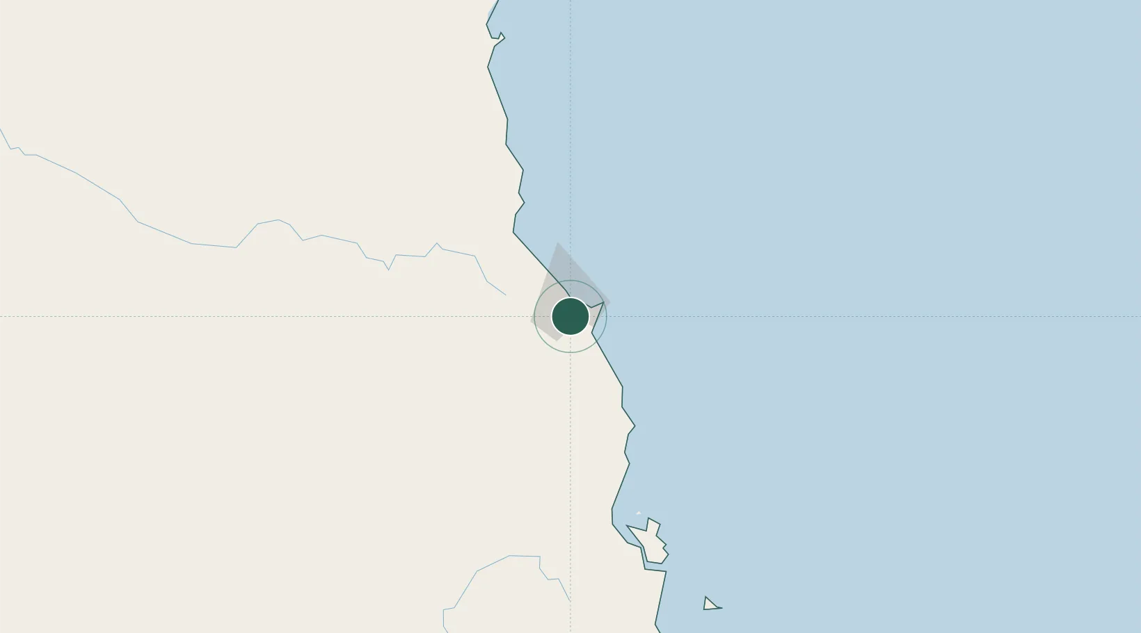
Location
Nearby Logistics Neighbours
Cities
- 1Woree1 km
- 2Atherton46 km
- 3Hillcrest48 km
- 4Hinchinbrook Island168 km
- 5Garbutt278 km
Ports
- 1Mourilyan Harbour82 km
- 2Lucinda184 km
- 3Cape Flattery Harbor228 km
- 4Townsville280 km
- 5Karumba526 km
Airports
- 1Cairns International Airport9 km
- 2Mareeba Airport37 km
- 3Cooktown Airport179 km
- 4Palm Island Airport218 km
- 5Townsville Airport / RAAF Base Townsville277 km
Trade Zones
DatabookThe Record of Consolidated Knowledge
Australia beyond logistics?