Transport Functions
Port
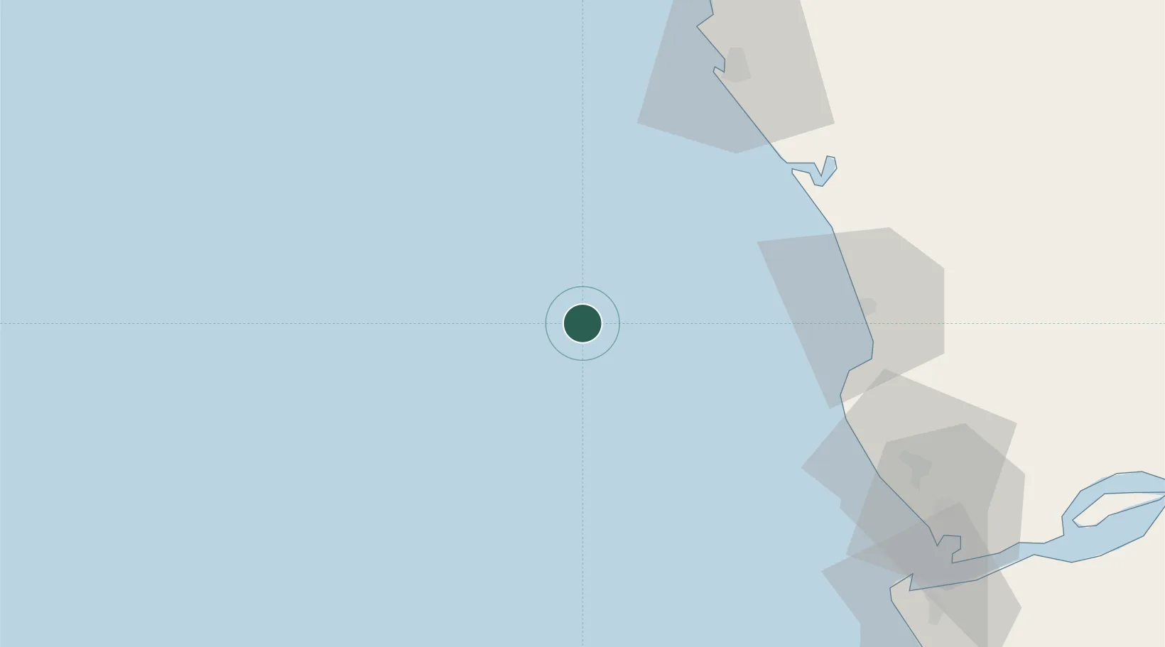
Location
Nearby Logistics Neighbours
Cities
- 1Futila Terminal78 km
- 2Cabinda81 km
- 3Pointe Noire82 km
- 4Soyo121 km
- 5Sazaire Terminal123 km
Ports
- 1N'kossa Terminal21 km
- 2Takula Terminal41 km
- 3Malongo Oil Terminal66 km
- 4Djeno Terminal72 km
- 5Futila Terminal78 km
Airports
- 1Cabinda Airport80 km
- 2Antonio Agostinho-Neto International Airport82 km
- 3Soyo Airport126 km
- 4Ngot Nzoungou Airport189 km
- 5Mbanza Congo Airport320 km
Trade Zones
DatabookThe Record of Consolidated Knowledge
Angola beyond logistics?