Seaport · Angola

Takula TerminalAOTAK

-5.2167°, 11.7833°
70.0 m
Channel depth

Channel & Berth Profile

SEA LEVEL (CD)CHANNEL BEDAnchorage · 23.2 mOil terminal · 68.5 mChannel · 70.0 m
NGA World Port Index

Pilotage, Tugs & Services

Pilotage compulsoryYES
Tug assistanceYES
NGA World Port Index

Facilities & Capabilities

Container
Ro-Ro
Liquid bulk
Dry bulk
Oil terminal
Break bulk
Dry dock
Repairs
Bunkering
Rail link
Dangerous cargo
ISPS security
NGA World Port Index

Harbour Specifications
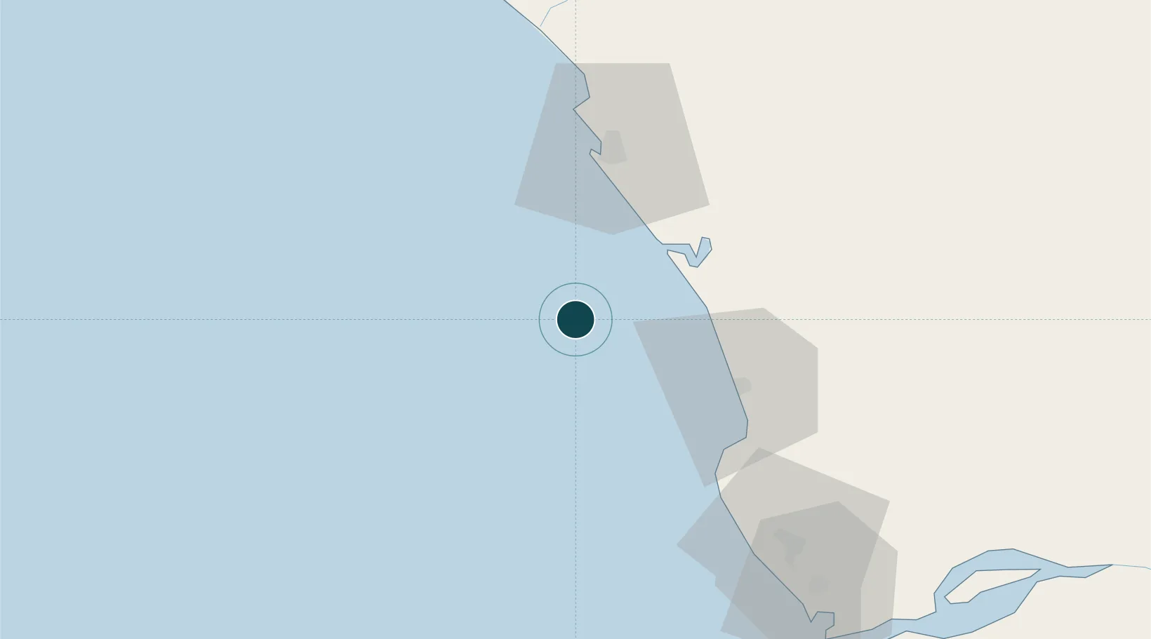
Harbour size
Small
NGA World Port Index
Harbour type
Open Roadstead
NGA World Port Index
Shelter
Poor
NGA World Port Index
Water body
South Atlantic Ocean
NGA World Port Index
Tidal range
1.5 m
NGA World Port Index
Pilotage
Yes
NGA World Port Index

Location

Location of AOTAK
Natural Earth 10m (public domain) · Kiribati · AOTAK · -5.22, 11.78GoogleOSMYandex

Nearby Logistics Neighbours

Ports
  1. 1N'kossa Terminal25 km
  2. 2Djeno Terminal34 km
  3. 3Malongo Oil Terminal41 km
  4. 4Kuito Oil Field42 km
  5. 5Pointe Noire49 km
Nearest neighbours — logibook spatial index (haversine) over the source coordinates
Cities
  1. 1Kuito Terminal41 km
  2. 2Pointe Noire48 km
  3. 3Futila Terminal51 km
  4. 4Cabinda60 km
  5. 5Sazaire Terminal117 km
Nearest neighbours — logibook spatial index (haversine) over the source coordinates
Airports
  1. 1Antonio Agostinho-Neto International Airport46 km
  2. 2Cabinda Airport62 km
  3. 3Soyo Airport122 km
  4. 4Ngot Nzoungou Airport149 km
  5. 5Mbanza Congo Airport297 km
Nearest neighbours — logibook spatial index (haversine) over the source coordinates
Trade Zones
  1. 1Pointe-Noire Special Economic Zone48 km
  2. 2Fútila Industrial Development Pole53 km
  3. 3Brazzaville Special Economic Zone370 km
  4. 4Boumango Special Economic Zone391 km
  5. 5Maluku Special Economic Zone435 km
Nearest neighbours — logibook spatial index (haversine) over the source coordinates
DatabookThe Record of Consolidated Knowledge
Angola beyond logistics?
Browse databook

All Sources

Portsthe NGA World Port Index
Public domain (US gov)
AirportsOurAirports
Public domain
LocationsUN/LOCODE
UN/LOCODE — free
Trade Zonesthe World Bank SEZ database
CC BY 4.0
Trade ZonesOpen Zone Map
CC BY
← Angola ports