UN/LOCODE hub · South Africa
ZAZCO
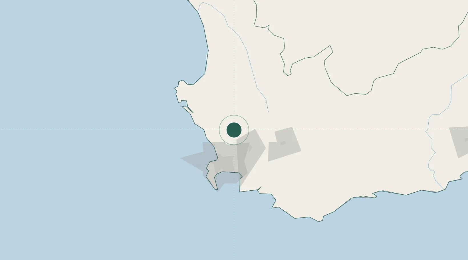
Malmesbury
-33.4500°, 18.7333°
43,009
Population
1
Transport functions
Transport Functions
Multimodal
Hub Profile
Place type
District seat
Region
Western Cape
Population
43,009
Time zone
Africa/Johannesburg
Elevation
136 m
Location
Nearby Logistics Neighbours
Cities
- 1Riebeek West17 km
- 2Dassenberg19 km
- 3Philidelphia27 km
- 4Klipheuwel28 km
- 5Gouda33 km
Ports
- 1Cape Town60 km
- 2Saldanha Bay85 km
- 3Simonstown86 km
- 4Mossel Bay325 km
- 5Port Elizabeth642 km
Airports
- 1Ysterplaat Air Force Base55 km
- 2Cape Town International Airport60 km
- 3Langebaanweg Airport76 km
- 4Saldanha/Vredenburg Airport89 km
- 5Robertson Airport116 km
Trade Zones
DatabookThe Record of Consolidated Knowledge
South Africa beyond logistics?