Transport Functions
Multimodal
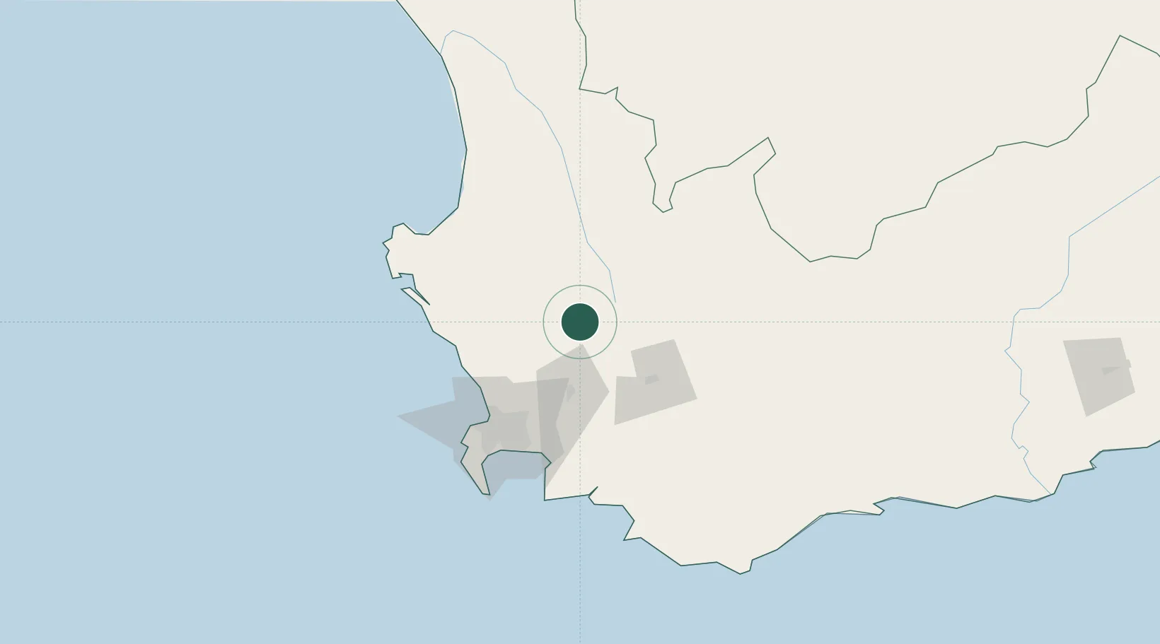
Hub Profile
Place type
Populated place
Region
Western Cape
Population
4,122
Time zone
Africa/Johannesburg
Elevation
84 m
Location
Nearby Logistics Neighbours
Cities
- 1Saron15 km
- 2Riebeek West17 km
- 3Malmesbury33 km
- 4Porterville34 km
- 5Op-die-Berg39 km
Ports
- 1Cape Town89 km
- 2Saldanha Bay104 km
- 3Simonstown113 km
- 4Mossel Bay304 km
- 5Port Elizabeth616 km
Airports
- 1Ysterplaat Air Force Base83 km
- 2Cape Town International Airport85 km
- 3Langebaanweg Airport89 km
- 4Robertson Airport99 km
- 5Saldanha/Vredenburg Airport106 km
Trade Zones
DatabookThe Record of Consolidated Knowledge
South Africa beyond logistics?