UN/LOCODE hub · South Africa
ZARWC
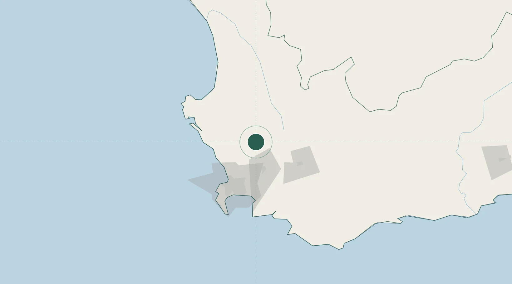
Riebeek West
-33.3500°, 18.8667°
5,211
Population
2
Transport functions
Transport Functions
Port
Multimodal
Hub Profile
Place type
Populated place
Region
Western Cape
Population
5,211
Time zone
Africa/Johannesburg
Elevation
198 m
Location
Nearby Logistics Neighbours
Cities
- 1Gouda17 km
- 2Malmesbury17 km
- 3Saron25 km
- 4Dassenberg36 km
- 5Porterville40 km
Ports
- 1Cape Town76 km
- 2Saldanha Bay91 km
- 3Simonstown101 km
- 4Mossel Bay317 km
- 5Port Elizabeth631 km
Airports
- 1Ysterplaat Air Force Base70 km
- 2Cape Town International Airport74 km
- 3Langebaanweg Airport78 km
- 4Saldanha/Vredenburg Airport94 km
- 5Robertson Airport109 km
Trade Zones
DatabookThe Record of Consolidated Knowledge
South Africa beyond logistics?