UN/LOCODE hub · South Africa
ZAPDZ

Philidelphia

-33.6500°, 18.5667°
1
Transport functions

Transport Functions

Multimodal
UN/LOCODE

Hub Profile

Region
WC
GeoNames

Location

Location of ZAPDZ
Natural Earth 10m (public domain) · WC · ZAPDZ · -33.65, 18.57GoogleOSMYandex

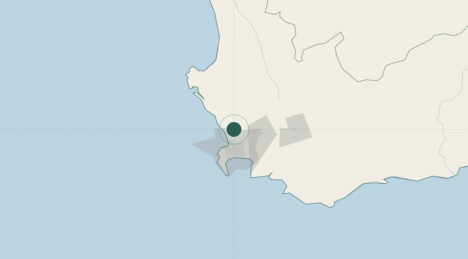
Nearby Logistics Neighbours

Cities
  1. 1Dassenberg13 km
  2. 2Klipheuwel14 km
  3. 3Melkbosstrand15 km
  4. 4Bloubergstrand19 km
  5. 5Bothasig22 km
Nearest neighbours — logibook spatial index (haversine) over the source coordinates
Ports
  1. 1Cape Town33 km
  2. 2Simonstown61 km
  3. 3Saldanha Bay88 km
  4. 4Mossel Bay335 km
  5. 5Port Elizabeth655 km
Nearest neighbours — logibook spatial index (haversine) over the source coordinates
Airports
  1. 1Ysterplaat Air Force Base29 km
  2. 2Cape Town International Airport36 km
  3. 3Langebaanweg Airport85 km
  4. 4Saldanha/Vredenburg Airport94 km
  5. 5Robertson Airport125 km
Nearest neighbours — logibook spatial index (haversine) over the source coordinates
Trade Zones
  1. 1Atlantis Special Economic Zone10 km
  2. 2Saldanha Bay Special Economic Zone86 km
  3. 3Namakwa (Nama-Khoi) Special Economic Zone494 km
  4. 4Upington Special Economic Zone634 km
  5. 5Coega Industrial Development Zone657 km
Nearest neighbours — logibook spatial index (haversine) over the source coordinates
DatabookThe Record of Consolidated Knowledge
South Africa beyond logistics?
Browse databook

All Sources

LocationsUN/LOCODE
UN/LOCODE — free
Portsthe NGA World Port Index
Public domain (US gov)
AirportsOurAirports
Public domain
Trade Zonesthe World Bank SEZ database
CC BY 4.0
Trade ZonesOpen Zone Map
CC BY
← South Africa locations