UN/LOCODE hub · South Africa
ZAZCQ

Saron

-33.1667°, 19.0167°
9,396
Population
1
Transport functions

Transport Functions

Multimodal
UN/LOCODE

Hub Profile

Place type
Populated place
GeoNames
Region
Western Cape
GeoNames
Population
9,396
GeoNames
Time zone
Africa/Johannesburg
GeoNames
Elevation
105 m
GeoNames

Location

Location of ZAZCQ
Natural Earth 10m (public domain) · Western Cape · ZAZCQ · -33.17, 19.02GoogleOSMYandex

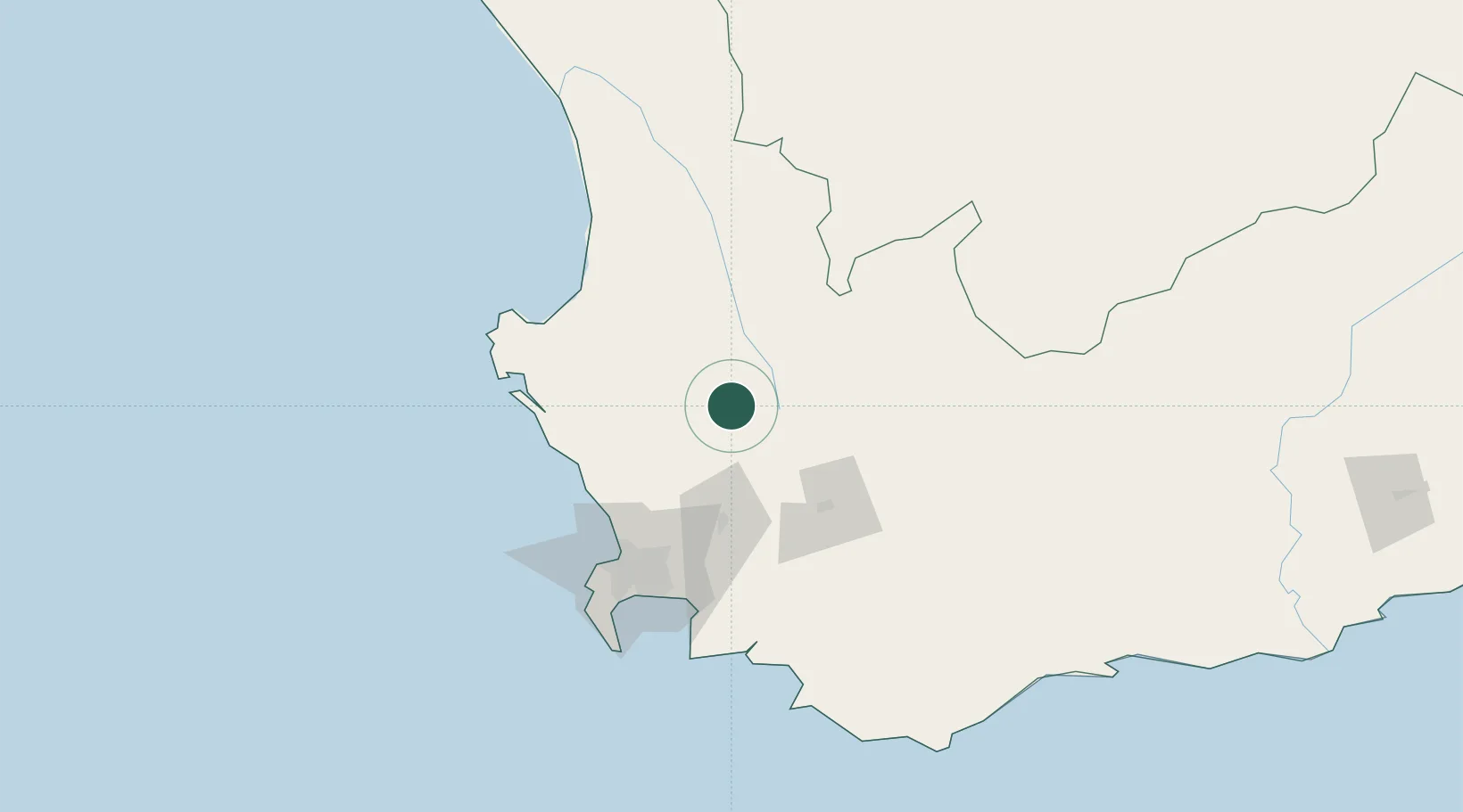
Nearby Logistics Neighbours

Cities
  1. 1Gouda15 km
  2. 2Porterville19 km
  3. 3Riebeek West25 km
  4. 4Op-die-Berg30 km
  5. 5Piketberg40 km
Nearest neighbours — logibook spatial index (haversine) over the source coordinates
Ports
  1. 1Saldanha Bay99 km
  2. 2Cape Town100 km
  3. 3Simonstown125 km
  4. 4Mossel Bay311 km
  5. 5Port Elizabeth620 km
Nearest neighbours — logibook spatial index (haversine) over the source coordinates
Airports
  1. 1Langebaanweg Airport83 km
  2. 2Ysterplaat Air Force Base95 km
  3. 3Cape Town International Airport98 km
  4. 4Saldanha/Vredenburg Airport100 km
  5. 5Robertson Airport109 km
Nearest neighbours — logibook spatial index (haversine) over the source coordinates
Trade Zones
  1. 1Atlantis Special Economic Zone68 km
  2. 2Saldanha Bay Special Economic Zone92 km
  3. 3Namakwa (Nama-Khoi) Special Economic Zone439 km
  4. 4Upington Special Economic Zone568 km
  5. 5Somerset East Industrial Park616 km
Nearest neighbours — logibook spatial index (haversine) over the source coordinates
DatabookThe Record of Consolidated Knowledge
South Africa beyond logistics?
Browse databook

All Sources

LocationsUN/LOCODE
UN/LOCODE — free
LocationsGeoNames
CC BY 4.0
Portsthe NGA World Port Index
Public domain (US gov)
AirportsOurAirports
Public domain
Trade Zonesthe World Bank SEZ database
CC BY 4.0
Trade ZonesOpen Zone Map
CC BY
← South Africa locations