UN/LOCODE hub · South Africa
ZAPOR
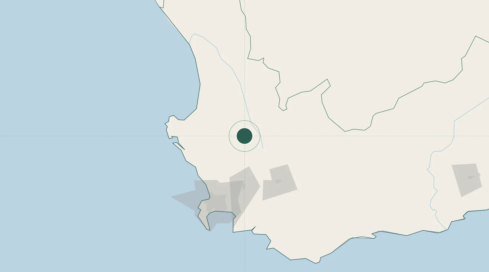
Porterville
-33.0000°, 18.9833°
8,455
Population
2
Transport functions
Transport Functions
Rail
Road
Hub Profile
Place type
Populated place
Region
Western Cape
Population
8,455
Time zone
Africa/Johannesburg
Elevation
146 m
Location
Nearby Logistics Neighbours
Cities
- 1Saron19 km
- 2Piketberg26 km
- 3Op-die-Berg28 km
- 4Gouda34 km
- 5Riebeek West40 km
Ports
- 1Saldanha Bay95 km
- 2Cape Town115 km
- 3Simonstown141 km
- 4Mossel Bay321 km
- 5Port Elizabeth627 km
Airports
- 1Langebaanweg Airport77 km
- 2Saldanha/Vredenburg Airport95 km
- 3Ysterplaat Air Force Base110 km
- 4Cape Town International Airport114 km
- 5Robertson Airport124 km
Trade Zones
DatabookThe Record of Consolidated Knowledge
South Africa beyond logistics?