Transport Functions
Road
Multimodal
Hub Profile
Place type
Urban district
Region
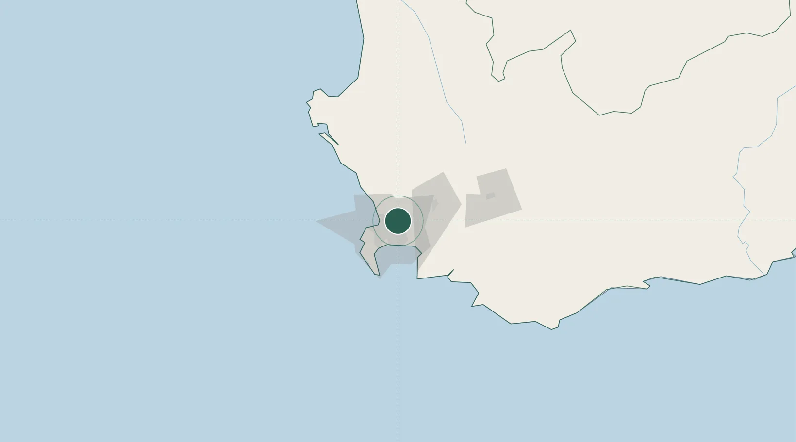
Western Cape
Time zone
Africa/Johannesburg
Elevation
119 m
Location
Nearby Logistics Neighbours
Cities
- 1Stikland2 km
- 2Welgemoed3 km
- 3Brackenfell3 km
- 4Kraaifontein6 km
- 5Bothasig9 km
Ports
- 1Cape Town22 km
- 2Simonstown41 km
- 3Saldanha Bay112 km
- 4Mossel Bay324 km
- 5Port Elizabeth645 km
Airports
- 1Cape Town International Airport13 km
- 2Ysterplaat Air Force Base15 km
- 3Langebaanweg Airport110 km
- 4Robertson Airport116 km
- 5Saldanha/Vredenburg Airport119 km
Trade Zones
DatabookThe Record of Consolidated Knowledge
South Africa beyond logistics?