UN/LOCODE hub · United States
USSWM

Snowmass Village

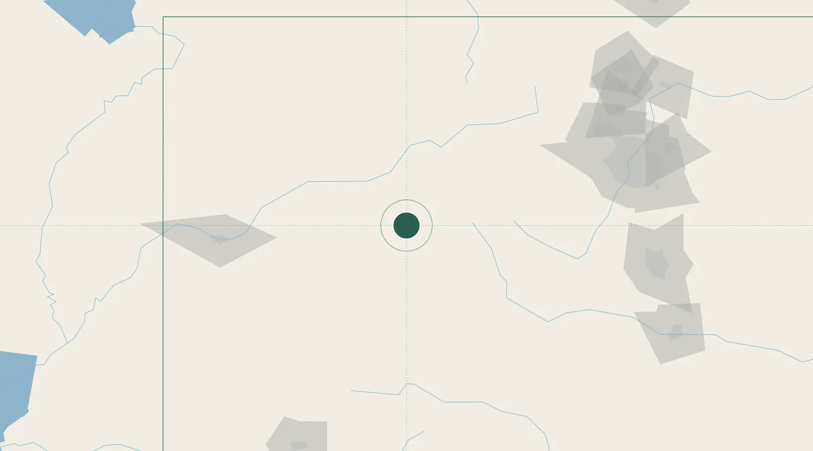
39.2000°, -106.9500°
2,916
Population
2
Transport functions

Transport Functions

Road
Multimodal
UN/LOCODE

Hub Profile

Place type
Populated place
GeoNames
Region
Colorado
GeoNames
Population
2,916
GeoNames
Time zone
America/Denver
GeoNames
Elevation
2,502 m
GeoNames

Location

Location of USSWM
Natural Earth 10m (public domain) · Colorado · USSWM · 39.20, -106.95GoogleOSMYandex

Nearby Logistics Neighbours

Cities
  1. 1New Castle25 km
  2. 2Carbondale32 km
  3. 3Gypsum50 km
  4. 4Eagle51 km
  5. 5Somerset54 km
Nearest neighbours — logibook spatial index (haversine) over the source coordinates
Ports
  1. 1Newport Beach1159 km
  2. 2San Diego1168 km
  3. 3Long Beach1171 km
  4. 4Los Angeles1177 km
  5. 5El Segundo1181 km
Nearest neighbours — logibook spatial index (haversine) over the source coordinates
Airports
  1. 1Aspen-Pitkin County Airport (Sardy Field)7 km
  2. 2Eagle County Regional Airport49 km
  3. 3Gunnison Crested Butte Regional Airport74 km
  4. 4Garfield County Regional Airport76 km
  5. 5Montrose Regional Airport112 km
Nearest neighbours — logibook spatial index (haversine) over the source coordinates
Trade Zones
  1. 1FTZ No. 298 Jefferson County165 km
  2. 2FTZ No. 123 Denver179 km
  3. 3FTZ No. 112 Colorado Springs188 km
  4. 4FTZ No. 293 Limon281 km
  5. 5FTZ No. 110 Albuquerque458 km
Nearest neighbours — logibook spatial index (haversine) over the source coordinates
DatabookThe Record of Consolidated Knowledge
United States beyond logistics?
Browse databook

All Sources

LocationsUN/LOCODE
UN/LOCODE — free
LocationsGeoNames
CC BY 4.0
Portsthe NGA World Port Index
Public domain (US gov)
AirportsOurAirports
Public domain
Trade Zonesthe World Bank SEZ database
CC BY 4.0
Trade ZonesOpen Zone Map
CC BY
← United States locations