UN/LOCODE hub · United States
USZOK
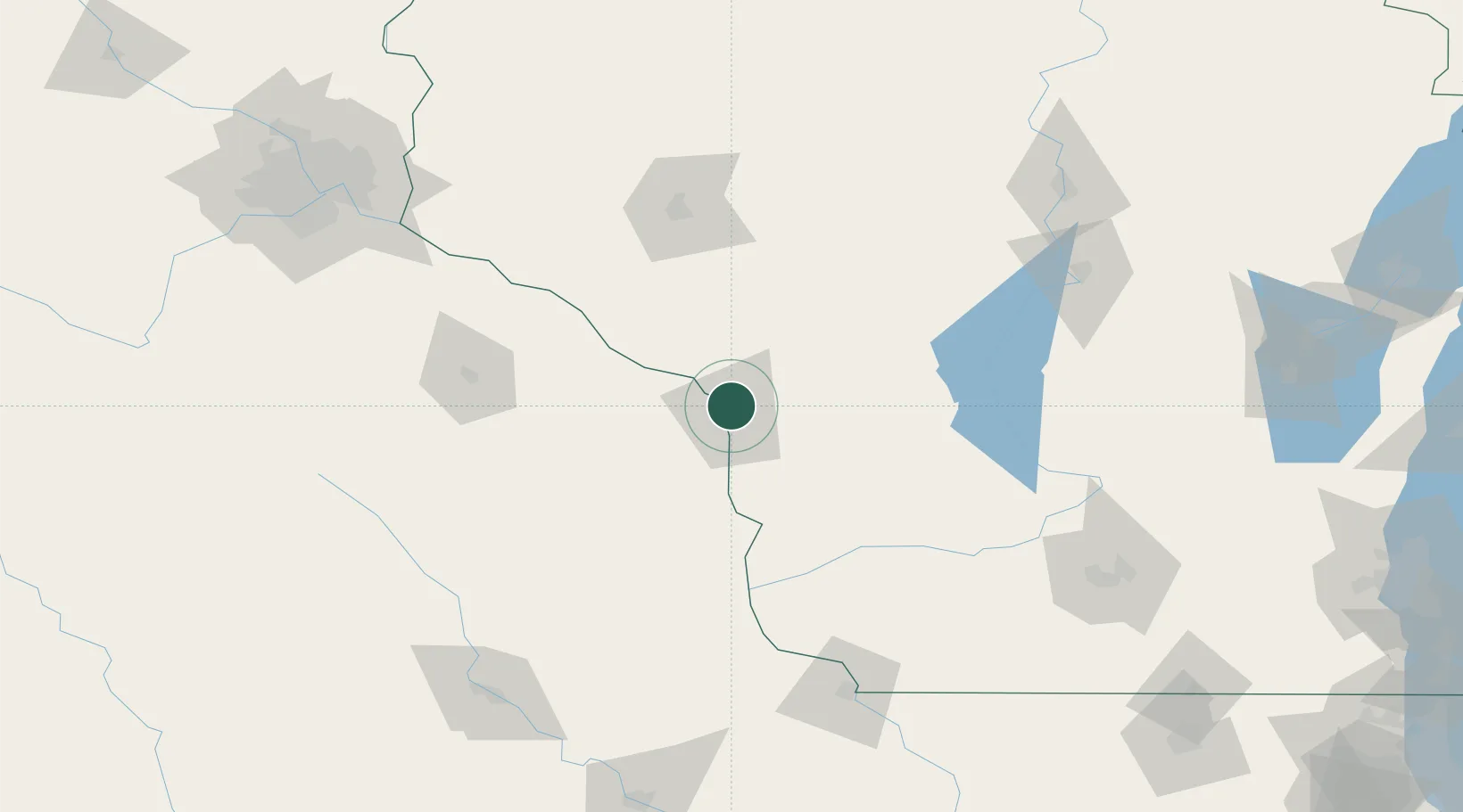
Onalaska
43.8833°, -91.2333°
18,468
Population
3
Transport functions
Transport Functions
Rail
Road
Multimodal
Hub Profile
Place type
Populated place
Region
Wisconsin
Population
18,468
Time zone
America/Chicago
Elevation
216 m
Location
Nearby Logistics Neighbours
Ports
- 1Kaukauna241 km
- 2Green Bay266 km
- 3Port Washington277 km
- 4Sheboygan284 km
- 5Milwaukee286 km
Airports
Trade Zones
DatabookThe Record of Consolidated Knowledge
United States beyond logistics?