Transport Functions
Multimodal
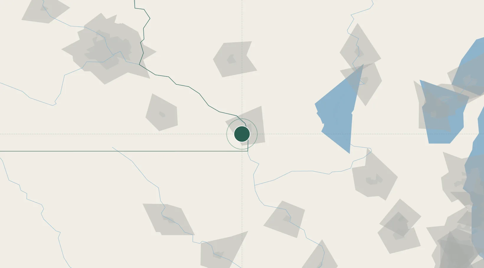
Hub Profile
Place type
Populated place
Region
Minnesota
Population
560
Time zone
America/Chicago
Elevation
214 m
Location
Nearby Logistics Neighbours
Ports
- 1Kaukauna252 km
- 2Green Bay278 km
- 3Port Washington282 km
- 4Milwaukee290 km
- 5Sheboygan292 km
Airports
Trade Zones
DatabookThe Record of Consolidated Knowledge
United States beyond logistics?