Medium airport · United States
Chippewa Valley Regional AirportKEAU
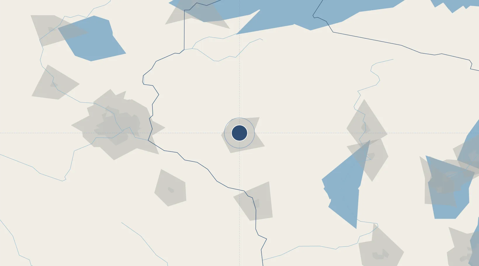
44.8658°, -91.4843°
8,101 ft
Longest runway
2
Runways
913 ft
Elevation
Runway & Layout

Radio Frequencies
ASOS
119.675 MHz
A/D
125.3 MHz
MINNEAPOLIS APP/DEP
RDO
122.65 MHz
GREEN BAY RDO
UNIC
123 MHz
CTAF/UNICOM
Navaids
EA NDB Maggs 239 kHz
EAU VORTAC Eau Claire 112.90 MHz
Runways · 2
| Runway | Dimensions | Surface | True heading | Lit |
|---|---|---|---|---|
| 04/22 | 8,101 × 150ft | Concrete | 045° | ✓ |
| 14/32 | 5,000 × 100ft | Concrete | 139° | ✓ |
Airport Specifications
IATA code
EAU
ICAO code
KEAU
Airport class
Medium airport
Scheduled service
Yes
Runway surface
Concrete
Served city
Eau Claire
Location
Nearby Logistics Neighbours
Airports
Trade Zones
- 1FTZ No. 119 Minneapolis-St. Paul139 km
- 2FTZ No. 051 Duluth219 km
- 3FTZ No. 266 Dane County245 km
- 4FTZ No. 167 Brown County257 km
- 5FTZ No. 271 Jo-Daviess and Carroll Counties301 km
DatabookThe Record of Consolidated Knowledge
United States beyond logistics?